Transport Functions
Road
Multimodal
Hub Profile
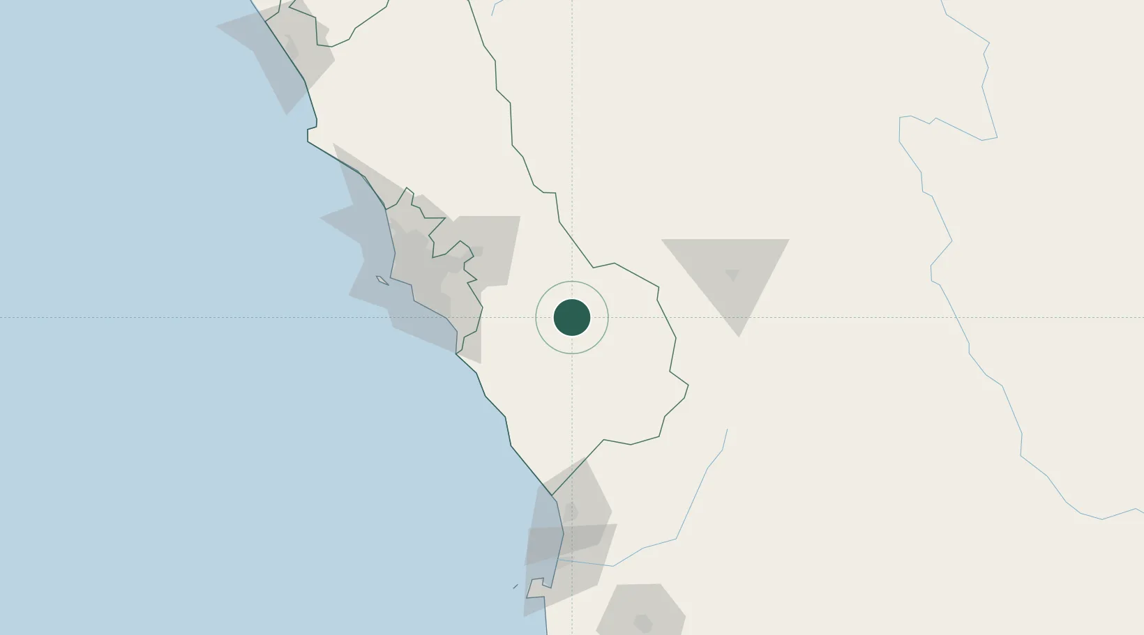
Place type
Populated place
Region
Lima region
Population
809
Time zone
America/Lima
Elevation
2,957 m
Location
Nearby Logistics Neighbours
Cities
- 1San Bartolo71 km
- 2Magdalena73 km
- 3Monterrico Chico93 km
- 4San Isidro102 km
- 5Lima103 km
Ports
- 1Conchan Oil Terminal95 km
- 2Puerto Del Callao114 km
- 3La Pampilla Oil Terminal116 km
- 4Bahia De Ancon130 km
- 5Chancay145 km
Airports
DatabookThe Record of Consolidated Knowledge
Peru beyond logistics?