Large airport · Peru

Capitán FAP Carlos Martínez de Pinillos International AirportSPRU
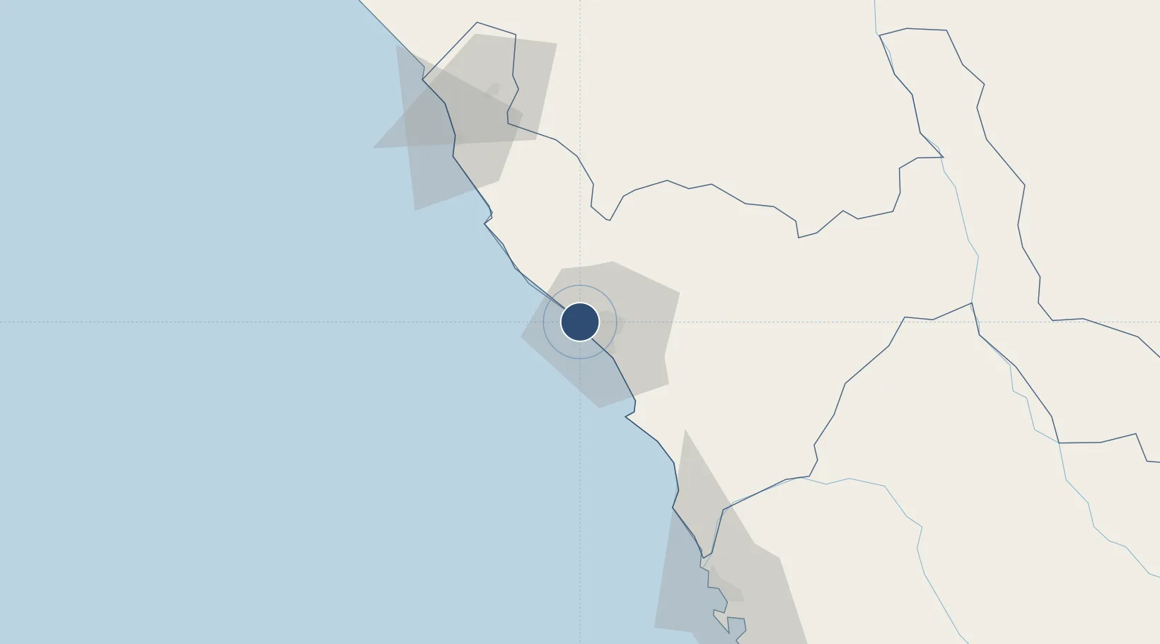
-8.0824°, -79.1088°
9,920 ft
Longest runway
1
Runways
106 ft
Elevation

Runway & Layout

Capitán FAP Carlos Martínez de Pinillos International Airport runway & taxiway layout
Runway & taxiway layout — OpenStreetMap (ODbL) / OurAirports

Radio Frequencies

APP
118.7 MHz
TRUJILLO APP/TWR
RDO
126.9 MHz
TRUJILLO RDO
OurAirports

Navaids

TRU VOR-DME Trujillo 116.30 MHz
OurAirports

Runways · 1

RunwayDimensions SurfaceTrue headingLit
02/20 9,920 × 145ft Asphalt 017°
OurAirports

Airport Specifications

IATA code
TRU
OurAirports
ICAO code
SPRU
OurAirports
Airport class
Large airport
OurAirports
Scheduled service
Yes
OurAirports
Runway surface
Asphalt
OurAirports
Served city
Trujillo
OurAirports

Location

Location of SPRU
Natural Earth 10m (public domain) · La Libertad · SPRU · -8.08, -79.11GoogleOSMYandex

Nearby Logistics Neighbours

Cities
  1. 1Salaverry21 km
  2. 2Virú54 km
  3. 3Trujillo76 km
  4. 4Chepen103 km
  5. 5Chimbote122 km
Nearest neighbours — logibook spatial index (haversine) over the source coordinates
Ports
  1. 1Salaverry22 km
  2. 2Puerto De Chimbote124 km
  3. 3Pimentel166 km
  4. 4Punta Lobitos (Bahia De Huarmey)247 km
  5. 5Puerto Bayovar329 km
Nearest neighbours — logibook spatial index (haversine) over the source coordinates
Trade Zones
  1. 1Zona Especial de Desarrollo Paita (Special Development Zone of Paita)398 km
  2. 2Zona Franca del Oro540 km
  3. 3Posorja ZofraPort SA Free Zone612 km
  4. 4DP World Posorja612 km
  5. 5Contecon Guayaquil Free Zone651 km
Nearest neighbours — logibook spatial index (haversine) over the source coordinates
DatabookThe Record of Consolidated Knowledge
Peru beyond logistics?
Browse databook

All Sources

AirportsOurAirports
Public domain
Portsthe NGA World Port Index
Public domain (US gov)
LocationsUN/LOCODE
UN/LOCODE — free
Trade Zonesthe World Bank SEZ database
CC BY 4.0
Trade ZonesOpen Zone Map
CC BY
InfrastructureOpenStreetMap
ODbL 1.0
← Peru airports