Medium airport · Brazil
Minaçu AirportSBMC
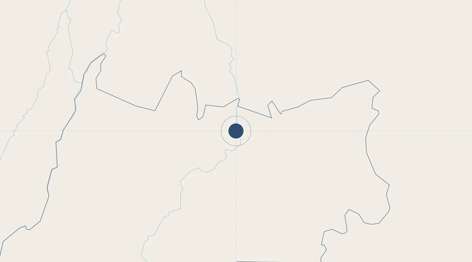
-13.5491°, -48.1953°
4,183 ft
Longest runway
1
Runways
1,401 ft
Elevation
Runway & Layout

Radio Frequencies
RDO
130.3 MHz
Runways · 1
| Runway | Dimensions | Surface | True heading | Lit |
|---|---|---|---|---|
| 5/23 | 4,183 × 98ft | Asphalt | — | — |
Airport Specifications
IATA code
MQH
ICAO code
SWIQ
Airport class
Medium airport
Scheduled service
No
Runway surface
Asphalt
Served city
Minaçu
Location
Nearby Logistics Neighbours
Airports
Cities
- 1Brasília251 km
- 2Luziânia302 km
- 3Porto Nacional318 km
- 4Anápolis318 km
- 5Aruanã344 km
Ports
- 1Port Of Ilheus999 km
- 2Madre De Deus1041 km
- 3Port De Salvador1050 km
- 4Aratu1053 km
- 5Vitoria1125 km
Trade Zones
- 1ZPE de Uberaba (MG)684 km
- 2ZPE de Araguaína (TO)709 km
- 3ZPE de Fernandópolis (SP)783 km
- 4ZPE de Teófilo Otoni (MG)864 km
- 5Zona Franca Ilhéus (BA)965 km
DatabookThe Record of Consolidated Knowledge
Brazil beyond logistics?