Medium airport · Brazil
Brigadeiro Lysias Rodrigues AirportSBPJ
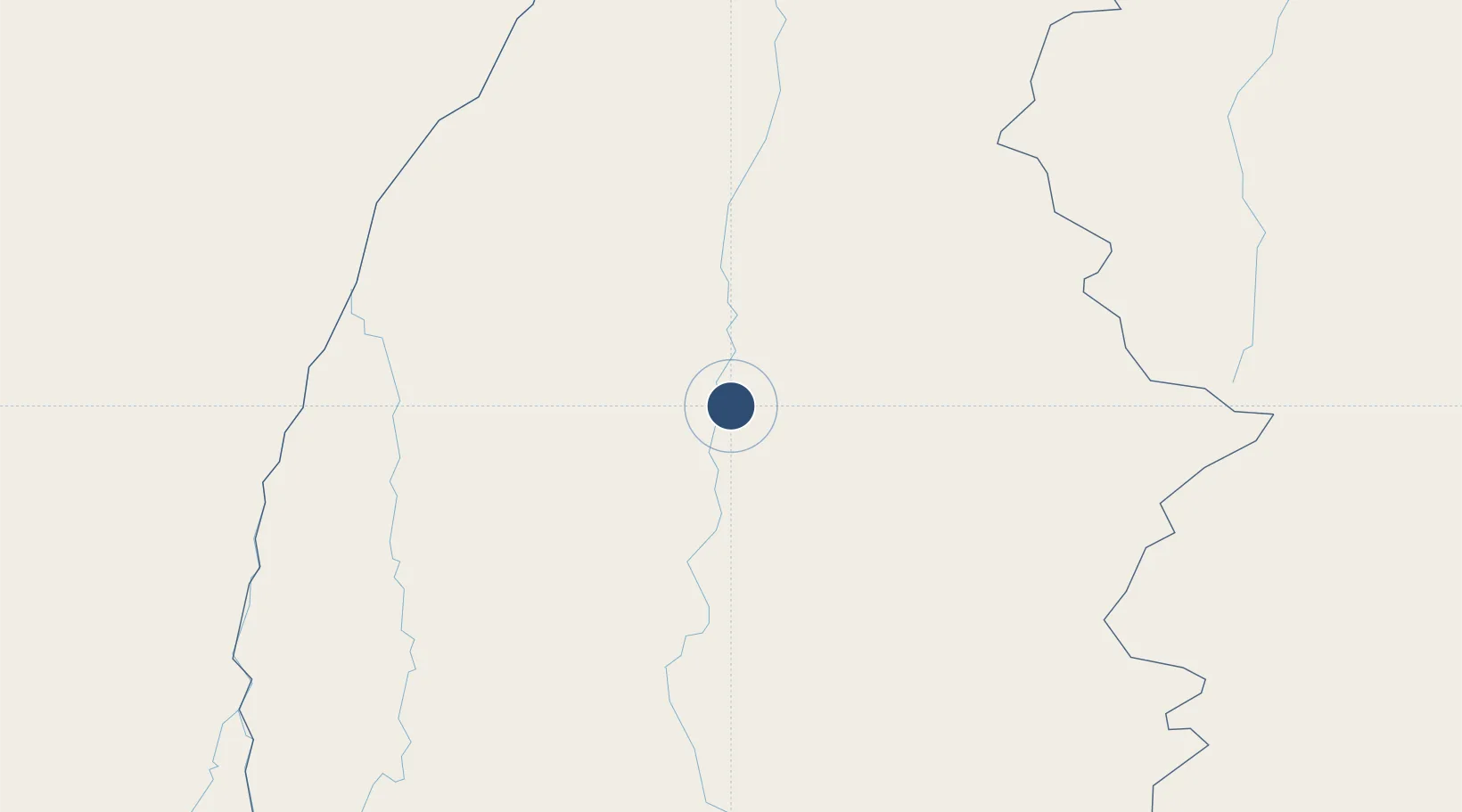
-10.2915°, -48.3570°
8,202 ft
Longest runway
2
Runways
774 ft
Elevation
Runway & Layout

Radio Frequencies
TWR
118 MHz
PALMAS TWR
APP
119 MHz
PALMAS APP
AFIS
119 MHz
PALMAS RDO
Navaids
PMS VOR-DME Palmas 112.20 MHz
Runways · 2
| Runway | Dimensions | Surface | True heading | Lit |
|---|---|---|---|---|
| 14/32 | 8,202 × 148ft | Asphalt | — | ✓ |
| — | — | — | — | — |
Airport Specifications
IATA code
PMW
ICAO code
SBPJ
Airport class
Medium airport
Scheduled service
Yes
Runway surface
Asphalt
Served city
Palmas
Location
Nearby Logistics Neighbours
Airports
- 1Porto Nacional Airport48 km
- 2Conceição do Araguaia Airport240 km
- 3Araguaína Airport341 km
- 4Brig. Lysias Augusto Rodrigues Airport345 km
- 5Minaçu Airport363 km
Cities
- 1Porto Nacional46 km
- 2Guaraí163 km
- 3Araguacema211 km
- 4Conceição do Araguaia247 km
- 5Palmeirante275 km
Ports
- 1Cameta903 km
- 2Itaqui965 km
- 3Vila Do Conde973 km
- 4Belem983 km
- 5Tutoia1071 km
Trade Zones
- 1ZPE de Araguaína (TO)347 km
- 2ZPE de São Luís968 km
- 3ZPE de Barcarena (PA)976 km
- 4ZPE de Uberaba (MG)1047 km
- 5Zona Franca Ilhéus (BA)1092 km
DatabookThe Record of Consolidated Knowledge
Brazil beyond logistics?