Transport Functions
Port
Road
Airport
Hub Profile
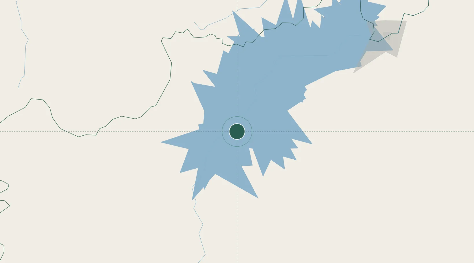
Place type
Populated place
Region
Bahia
Population
44,757
Time zone
America/Bahia
Elevation
406 m
Location
Nearby Logistics Neighbours
Cities
- 1Barra54 km
- 2Ibotirama161 km
- 3Campo Formoso265 km
- 4Juazeiro289 km
- 5Petrolina291 km
Ports
- 1Madre De Deus495 km
- 2Aratu508 km
- 3Port De Salvador516 km
- 4Port Of Ilheus596 km
- 5Port De Aracaju619 km
Airports
Trade Zones
- 1Zona Franca Ilhéus (BA)558 km
- 2ZPE de Barra dos Coqueiros (SE)621 km
- 3ZPE de Araguaína (TO)727 km
- 4ZPE de Teófilo Otoni (MG)795 km
- 5ZPE de Parnaíba (PI)880 km
DatabookThe Record of Consolidated Knowledge
Brazil beyond logistics?