UN/LOCODE hub · Brazil
BRPNL
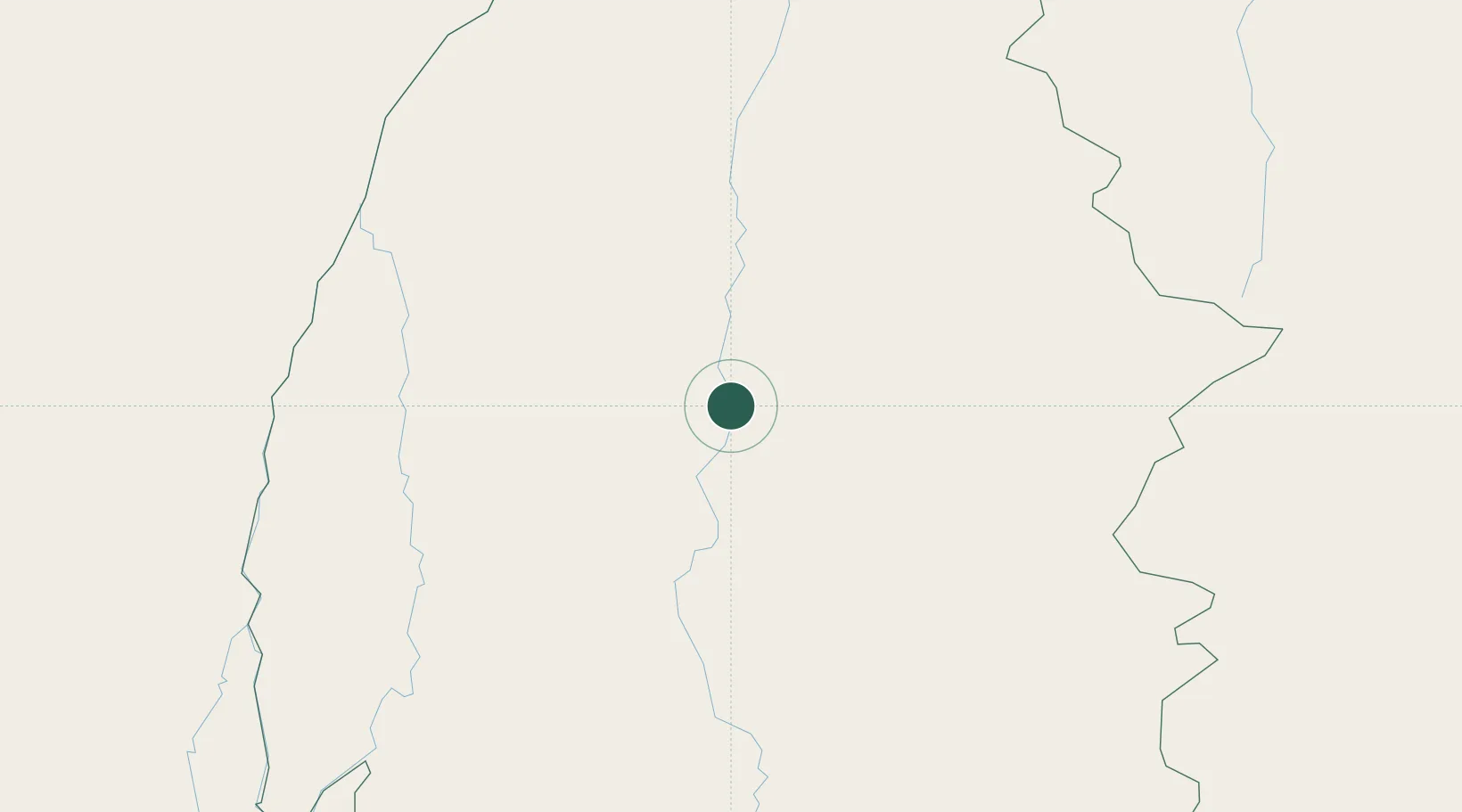
Porto Nacional
-10.7000°, -48.4000°
68,555
Population
3
Transport functions
Transport Functions
Rail
Road
Airport
Hub Profile
Place type
Populated place
Region
Tocantins
Population
68,555
Time zone
America/Araguaina
Elevation
231 m
Location
Nearby Logistics Neighbours
Cities
- 1Guaraí208 km
- 2Araguacema246 km
- 3Conceição do Araguaia288 km
- 4Palmeirante321 km
- 5Carolina390 km
Ports
- 1Cameta947 km
- 2Itaqui1008 km
- 3Vila Do Conde1018 km
- 4Belem1029 km
- 5Madre De Deus1089 km
Airports
- 1Porto Nacional Airport2 km
- 2Brigadeiro Lysias Rodrigues Airport46 km
- 3Conceição do Araguaia Airport280 km
- 4Minaçu Airport318 km
- 5Araguaína Airport387 km
Trade Zones
- 1ZPE de Araguaína (TO)392 km
- 2ZPE de Uberaba (MG)1001 km
- 3ZPE de São Luís1011 km
- 4ZPE de Barcarena (PA)1021 km
- 5Zona Franca Ilhéus (BA)1077 km
DatabookThe Record of Consolidated Knowledge
Brazil beyond logistics?