Channel & Berth Profile
Pilotage, Tugs & Services
Pilotage compulsoryYES
Pilotage availableYES
Local assistanceYES
Tug assistanceNO
Salvage tugsNO
Shore powerYES
Potable waterYES
Diesel bunkersYES
MedicalYES
Garbage disposalNO
Facilities & Capabilities
Container—
Ro-Ro—
Liquid bulk—
Dry bulk—
Oil terminal—
Break bulk—
Dry dock—
RepairsNO
BunkeringYES
Rail linkYES
Dangerous cargo—
ISPS security—
Harbour Specifications
Harbour size
Small
Harbour type
River (Natural)
Shelter
Fair
Water body
South Atlantic Ocean
Tidal range
9.9 m
Pilotage
Yes
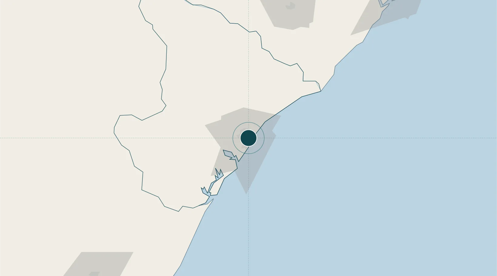
Location
Nearby Logistics Neighbours
Ports
- 1Porto De Maceio200 km
- 2Aratu261 km
- 3Madre De Deus266 km
- 4Port De Salvador278 km
- 5Porto De Suape361 km
Cities
- 1Barra dos Coqueiros3 km
- 2Maceió204 km
- 3Pojuca216 km
- 4Camaçari240 km
- 5Candeias253 km
Airports
Trade Zones
- 1ZPE de Barra dos Coqueiros (SE)3 km
- 2ZPE de Suape (PE)361 km
- 3Zona Franca Ilhéus (BA)475 km
- 4ZPE de João Pessoa (PB)478 km
- 5ZPE de Macaíba (RN)587 km
DatabookThe Record of Consolidated Knowledge
Brazil beyond logistics?