Medium airport · Brazil
Coronel Adalberto Mendes da Silva AirportSBCA
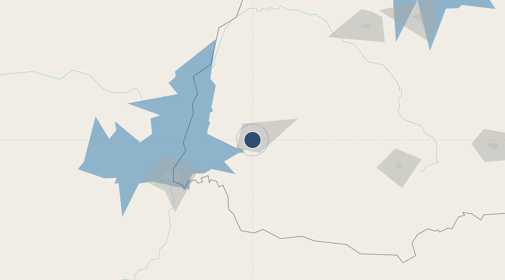
-25.0003°, -53.5012°
5,810 ft
Longest runway
1
Runways
2,481 ft
Elevation
Runway & Layout

Radio Frequencies
AFIS
131.85 MHz
RDO
Navaids
CAV NDB Cascavel 220 kHz
Runways · 1
| Runway | Dimensions | Surface | True heading | Lit |
|---|---|---|---|---|
| 15/33 | 5,810 × 148ft | Asphalt | — | — |
Airport Specifications
IATA code
CAC
ICAO code
SBCA
Airport class
Medium airport
Scheduled service
Yes
Runway surface
Asphalt
Served city
Cascavel
Location
Nearby Logistics Neighbours
Airports
- 1Toledo - Luiz Dalcanale Filho Municipal Airport40 km
- 2Cooperativa Lar Heliport65 km
- 3Cataratas International Airport119 km
- 4Itaipú Airport121 km
- 5Guaíra Airport124 km
Cities
- 1Cascavel19 km
- 2Capanema80 km
- 3Pato Bragado84 km
- 4Santa Helena86 km
- 5Santa Terezinha de Itaipu101 km
Ports
- 1Puerto De Asuncion422 km
- 2Paranagua504 km
- 3Sao Francisco507 km
- 4Itajai531 km
- 5Imbituba600 km
Trade Zones
- 1Zona Franca Puerto Iguazu Free Trade Zone126 km
- 2Zona Franca Internacional133 km
- 3Zona Franca Global134 km
- 4ZPE de Bataguassú (MS)384 km
- 5ZPE de Imbituba (SC)572 km
DatabookThe Record of Consolidated Knowledge
Brazil beyond logistics?