Small airport · Brazil

Toledo - Luiz Dalcanale Filho Municipal AirportSBTD
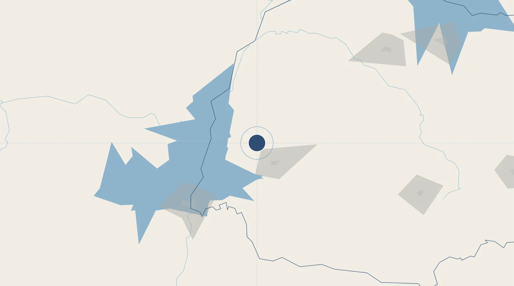
-24.6863°, -53.6975°
5,479 ft
Longest runway
1
Runways
1,843 ft
Elevation

Runway & Layout

Toledo - Luiz Dalcanale Filho Municipal Airport runway & taxiway layout
Runway & taxiway layout — OpenStreetMap (ODbL) / OurAirports

Radio Frequencies

AFIS
131.05 MHz
RDO
OurAirports

Navaids

TOL NDB Toledo 385 kHz
OurAirports

Runways · 1

RunwayDimensions SurfaceTrue headingLit
2/20 5,479 × 98ft Asphalt
OurAirports

Airport Specifications

IATA code
TOW
OurAirports
ICAO code
SBTD
OurAirports
Airport class
Small airport
OurAirports
Scheduled service
Yes
OurAirports
Runway surface
Asphalt
OurAirports
Served city
Toledo
OurAirports

Location

Location of SBTD
Natural Earth 10m (public domain) · Paraná · SBTD · -24.69, -53.70GoogleOSMYandex

Nearby Logistics Neighbours

Airports
  1. 1Coronel Adalberto Mendes da Silva Airport40 km
  2. 2Cooperativa Lar Heliport75 km
  3. 3Guaíra Airport84 km
  4. 4Aeropuerto Nacional de Salto del Guaira98 km
  5. 5Orlando de Carvalho Airport106 km
Nearest neighbours — logibook spatial index (haversine) over the source coordinates
Cities
  1. 1Cascavel52 km
  2. 2Pato Bragado53 km
  3. 3Santa Helena67 km
  4. 4Terra Roxa70 km
  5. 5Guaíra86 km
Nearest neighbours — logibook spatial index (haversine) over the source coordinates
Ports
  1. 1Puerto De Asuncion407 km
  2. 2Paranagua530 km
  3. 3Sao Francisco537 km
  4. 4Itajai564 km
  5. 5Imbituba637 km
Nearest neighbours — logibook spatial index (haversine) over the source coordinates
Trade Zones
  1. 1Zona Franca Puerto Iguazu Free Trade Zone134 km
  2. 2Zona Franca Internacional135 km
  3. 3Zona Franca Global136 km
  4. 4ZPE de Bataguassú (MS)358 km
  5. 5ZPE de Fernandópolis (SP)601 km
Nearest neighbours — logibook spatial index (haversine) over the source coordinates
DatabookThe Record of Consolidated Knowledge
Brazil beyond logistics?
Browse databook

All Sources

AirportsOurAirports
Public domain
Portsthe NGA World Port Index
Public domain (US gov)
LocationsUN/LOCODE
UN/LOCODE — free
Trade Zonesthe World Bank SEZ database
CC BY 4.0
Trade ZonesOpen Zone Map
CC BY
InfrastructureOpenStreetMap
ODbL 1.0
← Brazil airports