Medium airport · Ecuador
Coronel E Carvajal AirportSEMC
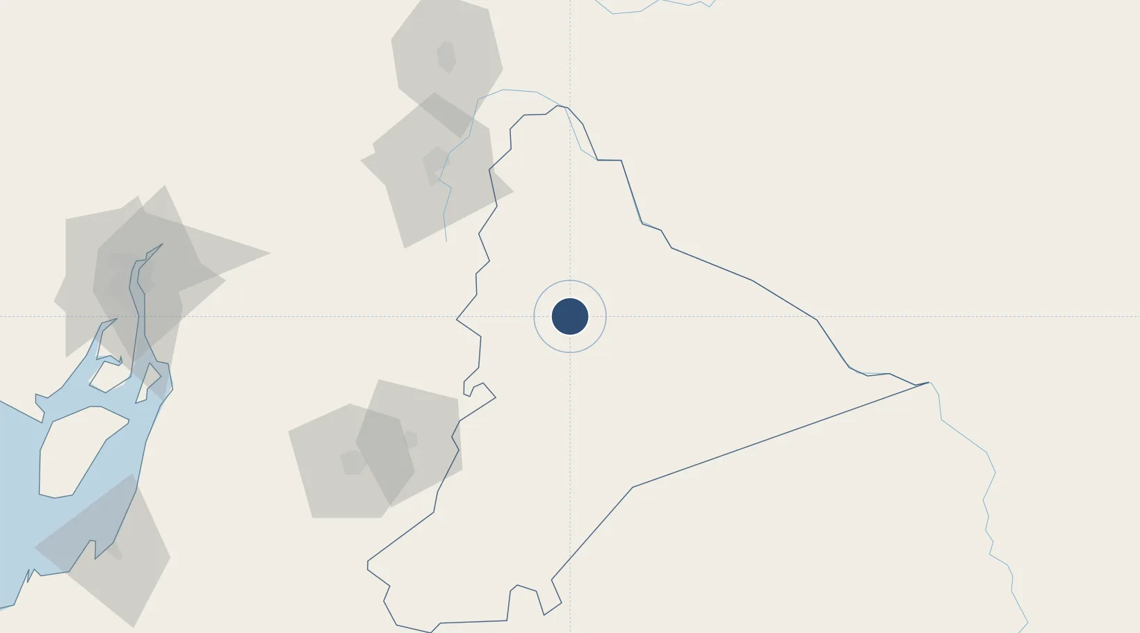
-2.2992°, -78.1208°
8,202 ft
Longest runway
1
Runways
3,452 ft
Elevation
Runway & Layout

Radio Frequencies
TWR
123 MHz
MACAS TWR
APP
119.5 MHz
SHELL APP
Navaids
MAS NDB Macas 405 kHz
MSV VOR-DME Macas 112.50 MHz
Runways · 1
| Runway | Dimensions | Surface | True heading | Lit |
|---|---|---|---|---|
| 01/19 | 8,202 × 98ft | Asphalt | 015° | — |
Airport Specifications
IATA code
XMS
ICAO code
SEMC
Airport class
Medium airport
Scheduled service
Yes
Runway surface
Asphalt
Served city
Macas
Location
Nearby Logistics Neighbours
Airports
- 1Mariscal Lamar Airport116 km
- 2Chachoán Regional Airport131 km
- 3Jumandy Airport150 km
- 4Cotopaxi International Airport164 km
- 5José Joaquín de Olmedo International Airport197 km
Cities
- 1Morona81 km
- 2Paute88 km
- 3Guano98 km
- 4El Triunfo115 km
- 5Pelileo119 km
Ports
- 1Guayaquil196 km
- 2Puerto Maritimo De Guayaquil198 km
- 3Puerto Bolivar235 km
- 4La Libertad311 km
- 5Manta325 km
Trade Zones
- 1Contecon Guayaquil Free Zone198 km
- 2Zona Franca Esmeraldas201 km
- 3Zona Franca del Oro228 km
- 4Zona Franca Millestonecorp240 km
- 5Metrozona Quito240 km
DatabookThe Record of Consolidated Knowledge
Ecuador beyond logistics?