Transport Functions
Multimodal
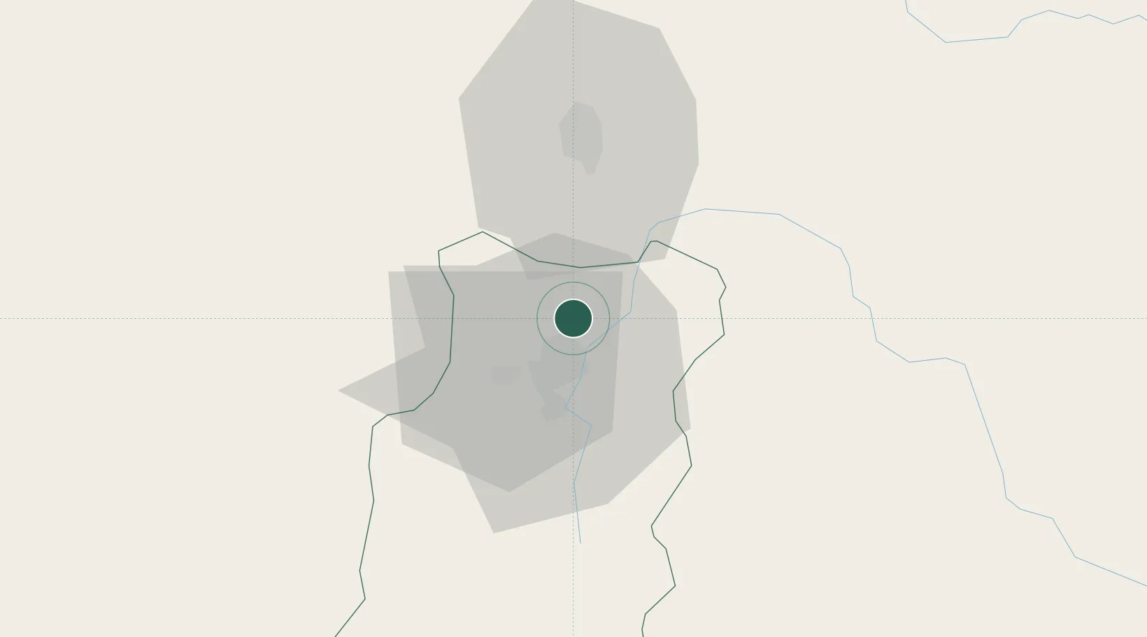
Hub Profile
Place type
Provincial seat
Region
Chimborazo Province
Population
12,659
Time zone
America/Guayaquil
Elevation
2,763 m
Location
Nearby Logistics Neighbours
Cities
- 1Tisaleo26 km
- 2Pelileo32 km
- 3El Triunfo41 km
- 4Montalvo81 km
- 5Valencia105 km
Ports
- 1Guayaquil155 km
- 2Puerto Maritimo De Guayaquil161 km
- 3Puerto Bolivar241 km
- 4Manta242 km
- 5La Libertad263 km
Airports
- 1Chachoán Regional Airport42 km
- 2Cotopaxi International Airport75 km
- 3Coronel E Carvajal Airport98 km
- 4Jumandy Airport131 km
- 5Mariscal Lamar Airport150 km
Trade Zones
- 1Zona Franca Esmeraldas157 km
- 2Zona Franca Millestonecorp158 km
- 3Contecon Guayaquil Free Zone161 km
- 4Metrozona Quito162 km
- 5Corpaq Tabalela (Quiport)165 km
DatabookThe Record of Consolidated Knowledge
Ecuador beyond logistics?