Transport Functions
Port
Road
Airport
Hub Profile
Place type
Populated place
Region
São Paulo
Population
38,256
Time zone
America/Sao_Paulo
Elevation
566 m
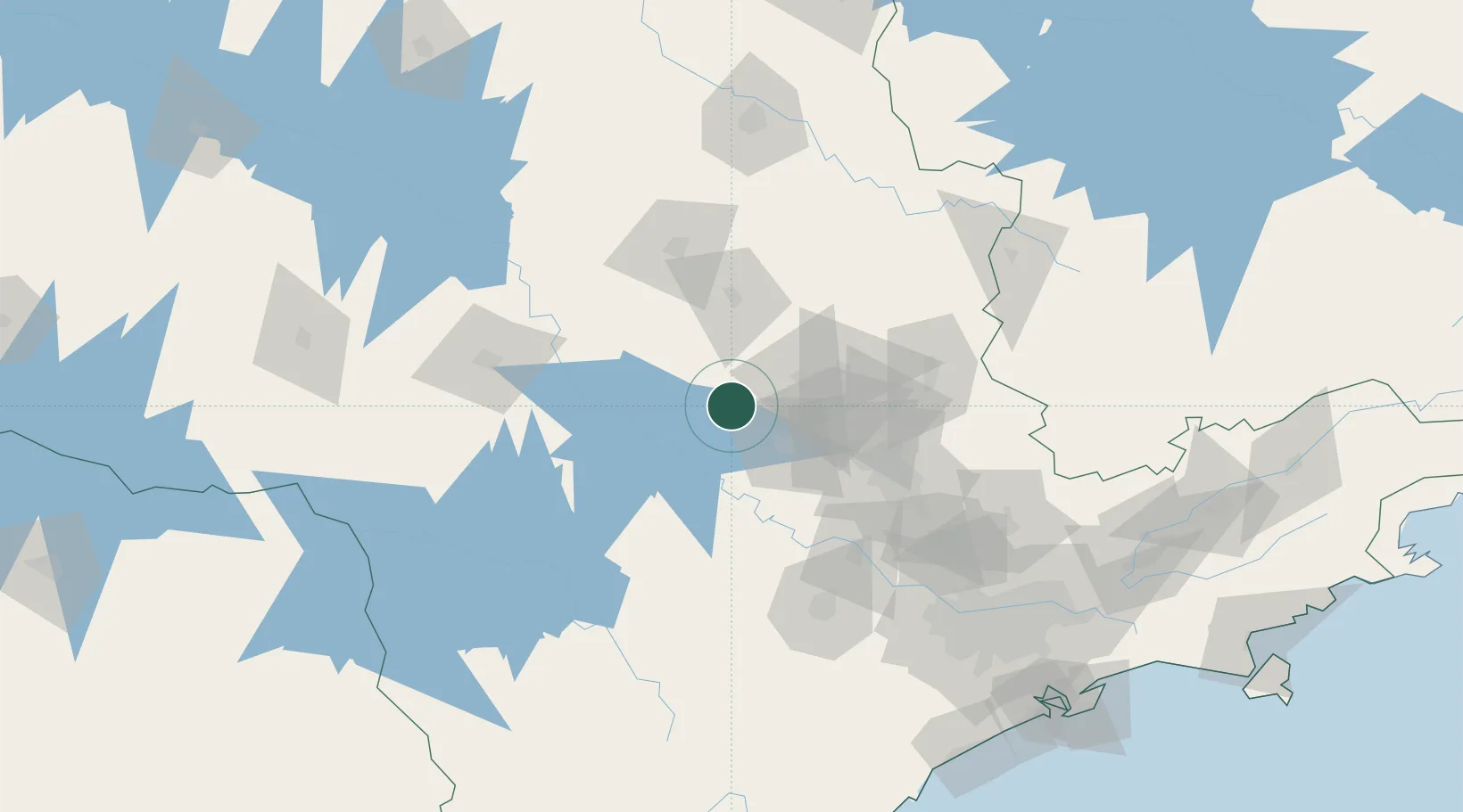
Location
Nearby Logistics Neighbours
Cities
- 1Santa Maria da Serra26 km
- 2Itirapina33 km
- 3Anhembi36 km
- 4Conchas53 km
- 5Jaú72 km
Ports
- 1Santos227 km
- 2Sao Sebastiao292 km
- 3Paranagua336 km
- 4Angra Dos Reis371 km
- 5Sao Francisco420 km
Airports
- 1Araraquara Airport84 km
- 2Campo Fontenelle84 km
- 3Viracopos International Airport95 km
- 4Sorocaba Airport113 km
- 5São Paulo Catarina Executive Airport125 km
Trade Zones
- 1ZPE de Uberaba (MG)316 km
- 2ZPE de Fernandópolis (SP)349 km
- 3ZPE de Itaguaí (RJ)425 km
- 4ZPE de Bataguassú (MS)474 km
- 5ZPE de Imbituba (SC)569 km
DatabookThe Record of Consolidated Knowledge
Brazil beyond logistics?