Transport Functions
Rail
Road
Airport
Multimodal
Hub Profile
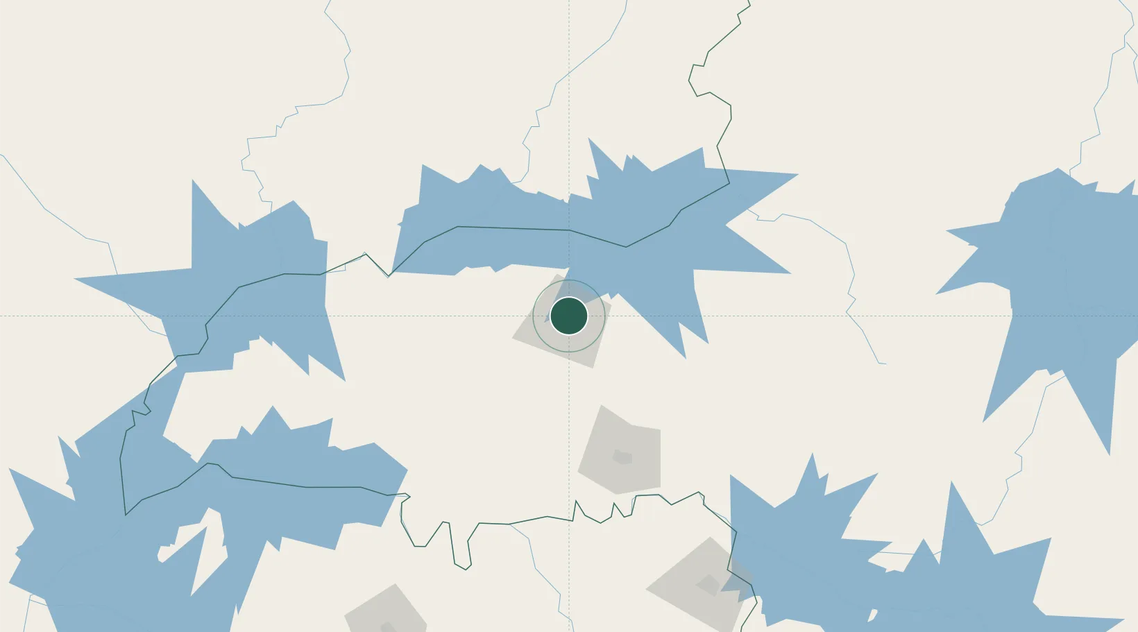
Place type
Populated place
Region
Minas Gerais
Population
563,536
Time zone
America/Sao_Paulo
Elevation
867 m
Logistics facilities
2
Location
Nearby Logistics Neighbours
Cities
- 1Araguari28 km
- 2Catalão86 km
- 3Uberaba96 km
- 4Ipameri130 km
- 5Patrocínio135 km
Ports
- 1Santos600 km
- 2Angra Dos Reis617 km
- 3Sao Sebastiao623 km
- 4Rio De Janeiro693 km
- 5Niteroi696 km
Airports
Trade Zones
- 1ZPE de Uberaba (MG)96 km
- 2ZPE de Fernandópolis (SP)264 km
- 3ZPE de Bataguassú (MS)534 km
- 4ZPE de Itaguaí (RJ)647 km
- 5ZPE de Teófilo Otoni (MG)724 km
DatabookThe Record of Consolidated Knowledge
Brazil beyond logistics?