Free Trade Zone · Colombia

EXENNTA Zona Franca Gachancipa Active
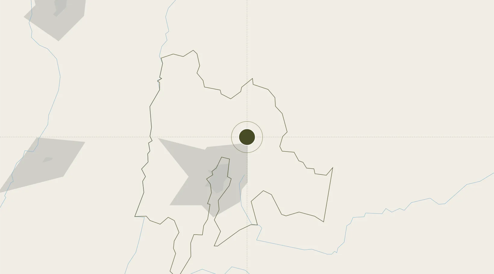
5.0192°, -73.8489°
21 ha
Zone area
378.4 km
Nearest port
48.3 km
Nearest airport

Gateway access

Nearest neighbours — logibook spatial index (haversine) over the source coordinates

Zone profile

Zone type
Free Trade Zone
Open Zone Map
Region
Cundinamarca
Open Zone Map
Status
Active
Open Zone Map
Management
Private
Open Zone Map
Operator
Terranum Desarrollo, SAS
Open Zone Map
Legal framework
Law 1004/2005 Decree 383 and 4051
Open Zone Map

Location

Location of ozm-1616
Natural Earth 10m (public domain) · Cundinamarca · ozm-1616 · 5.02, -73.85GoogleOSMYandex

Nearby Logistics Neighbours

Ports
  1. 1Buenaventura378 km
  2. 2Turbo467 km
  3. 3Covenas529 km
  4. 4Covenas Offshore Term.540 km
  5. 5San Lorenzo612 km
Nearest neighbours — logibook spatial index (haversine) over the source coordinates
Airports
  1. 1El Dorado International Airport48 km
  2. 2Tunja Airport81 km
  3. 3Vanguardia Airport98 km
  4. 4German Olano Air Base103 km
  5. 5Gomez Nino Apiay Air Base110 km
Nearest neighbours — logibook spatial index (haversine) over the source coordinates
Cities
  1. 1Tocancipá10 km
  2. 2Cajica23 km
  3. 3Chia30 km
  4. 4Cota36 km
  5. 5Bogotá49 km
Nearest neighbours — logibook spatial index (haversine) over the source coordinates
Trade Zones
  1. 1Zona Franca de Tocancipa14 km
  2. 2Metropolitana Free Trade Zone44 km
  3. 3Celta Trade Park45 km
  4. 4Zona Franca INTEXZONA46 km
  5. 5Bogota Free Trade Zone52 km
Nearest neighbours — logibook spatial index (haversine) over the source coordinates
DatabookThe Record of Consolidated Knowledge
Colombia beyond logistics?
Browse databook

All Sources

Trade ZonesOpen Zone Map
CC BY
Portsthe NGA World Port Index
Public domain (US gov)
AirportsOurAirports
Public domain
LocationsUN/LOCODE
UN/LOCODE — free
← Colombia trade zones