Medium airport · Brazil
Campo de Marte AirportSBMT
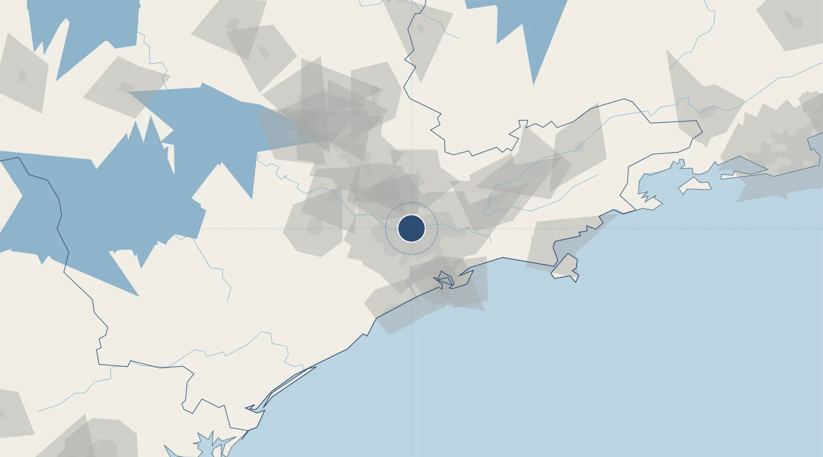
-23.5091°, -46.6378°
5,249 ft
Longest runway
1
Runways
2,371 ft
Elevation
Runway & Layout

Radio Frequencies
TWR
118.7 MHz
GND
121.6 MHz
APP
119.8 MHz
SAO PAULO APP
OPS
122.5 MHz
Navaids
MAE NDB Marte 260 kHz
Runways · 1
| Runway | Dimensions | Surface | True heading | Lit |
|---|---|---|---|---|
| 12/30 | 5,249 × 147ft | Asphalt | 100° | ✓ |
Airport Specifications
IATA code
RTE
ICAO code
SBMT
Airport class
Medium airport
Scheduled service
No
Runway surface
Asphalt
Served city
São Paulo
Location
Nearby Logistics Neighbours
Airports
Cities
- 1São Caetano do Sul12 km
- 2Guarulhos13 km
- 3Santo André20 km
- 4São Bernardo do Campo23 km
- 5Barueri23 km
Ports
- 1Santos60 km
- 2Sao Sebastiao130 km
- 3Angra Dos Reis243 km
- 4Paranagua292 km
- 5Rio De Janeiro361 km
Trade Zones
- 1ZPE de Itaguaí (RJ)300 km
- 2ZPE de Uberaba (MG)446 km
- 3ZPE de Imbituba (SC)495 km
- 4ZPE de Fernandópolis (SP)518 km
- 5ZPE do Açú (RJ)604 km
DatabookThe Record of Consolidated Knowledge
Brazil beyond logistics?