Medium airport · Brazil
Serafin Enoss Bertaso AirportSBCH
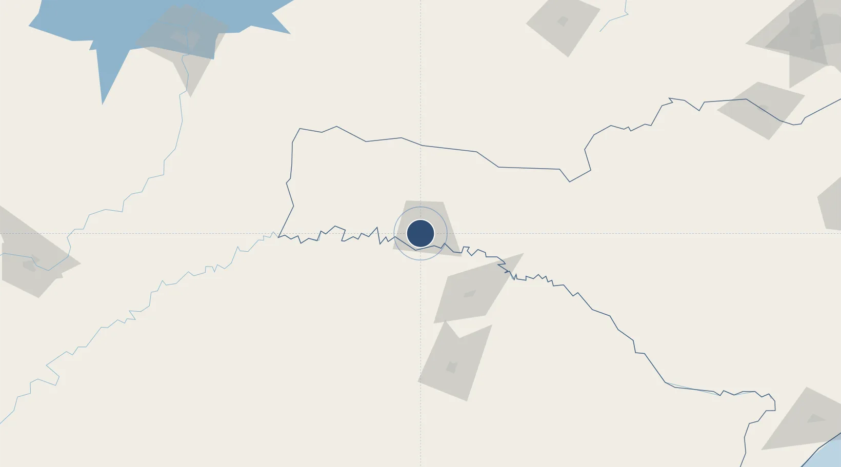
-27.1342°, -52.6566°
6,758 ft
Longest runway
1
Runways
2,154 ft
Elevation
Runway & Layout

Radio Frequencies
AFIS
130.85 MHz
RDO
Navaids
XPC VOR-DME Chapeco 116.10 MHz
XPC NDB Chapeco 173 kHz
Runways · 1
| Runway | Dimensions | Surface | True heading | Lit |
|---|---|---|---|---|
| 11/29 | 6,758 × 148ft | Asphalt | — | ✓ |
Airport Specifications
IATA code
XAP
ICAO code
SBCH
Airport class
Medium airport
Scheduled service
Yes
Runway surface
Asphalt
Served city
Chapecó
Location
Nearby Logistics Neighbours
Airports
- 1Juvenal Loureiro Cardoso Airport102 km
- 2Paulo Abdala Airport126 km
- 3Lauro Kurtz Airport128 km
- 4Aeroestación Yabotí144 km
- 5José Cleto Airport187 km
Cities
- 1Santa Helena98 km
- 2Passo Fundo127 km
- 3Dionísio Cerqueira137 km
- 4Santo Antônio do Sudoeste159 km
- 5Ijuí186 km
Ports
- 1Porto Alegre351 km
- 2Itajai399 km
- 3Tramandai401 km
- 4Laguna410 km
- 5Imbituba411 km
Trade Zones
- 1Zona Franca Puerto Iguazu Free Trade Zone255 km
- 2Zona Franca Internacional274 km
- 3Zona Franca Global274 km
- 4ZPE de Imbituba (SC)409 km
- 5Rivera Free Zone509 km
DatabookThe Record of Consolidated Knowledge
Brazil beyond logistics?