Transport Functions
Rail
Road
Airport
Multimodal
Hub Profile
Place type
Provincial seat
Region
São Paulo
Population
379,297
Time zone
America/Sao_Paulo
Elevation
530 m
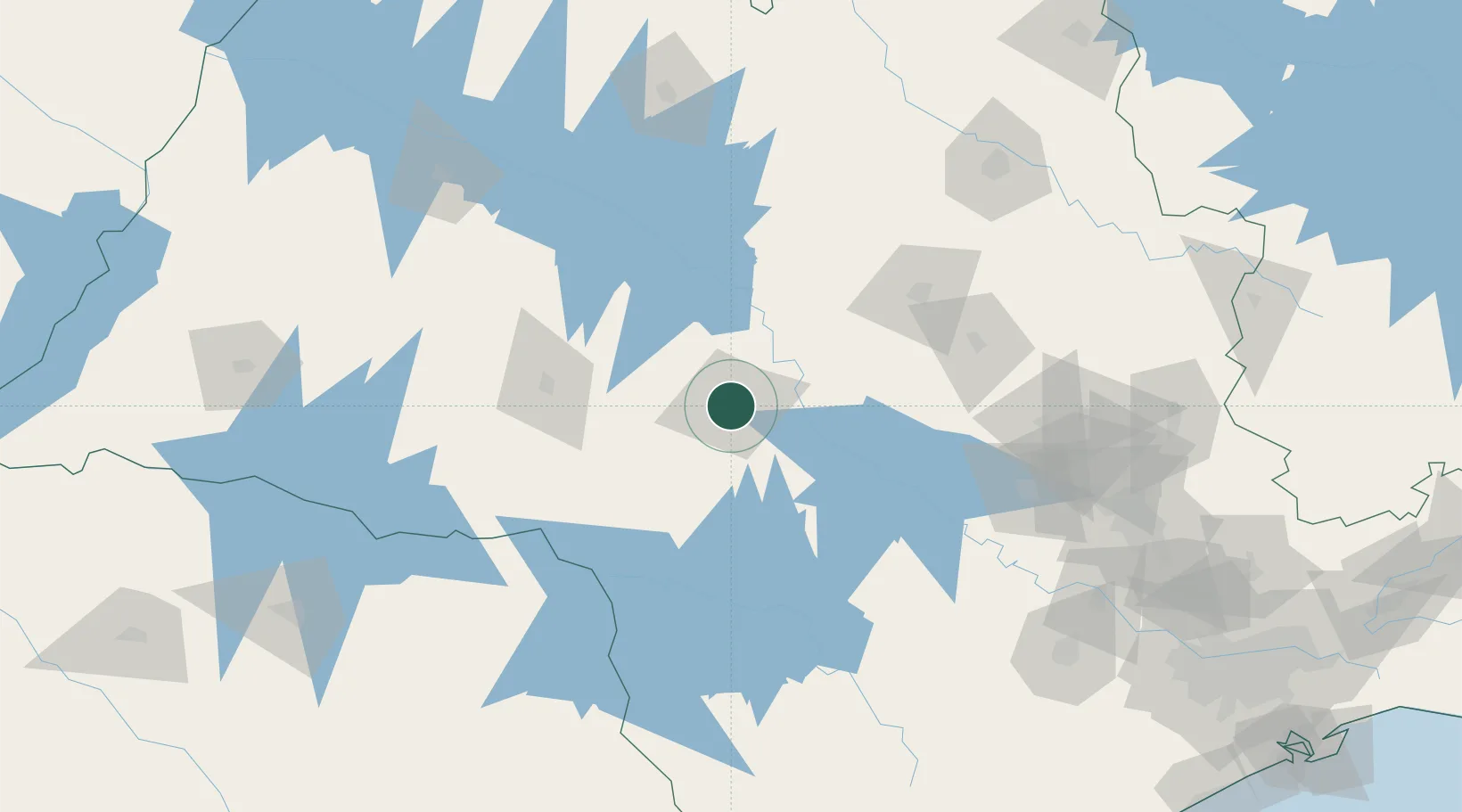
Location
Nearby Logistics Neighbours
Cities
- 1Pederneiras31 km
- 2Bariri44 km
- 3Jaú53 km
- 4Santa Maria da Serra98 km
- 5Ourinhos109 km
Ports
- 1Santos336 km
- 2Paranagua358 km
- 3Sao Sebastiao410 km
- 4Sao Francisco440 km
- 5Angra Dos Reis494 km
Airports
Trade Zones
- 1ZPE de Fernandópolis (SP)257 km
- 2ZPE de Uberaba (MG)312 km
- 3ZPE de Bataguassú (MS)352 km
- 4ZPE de Itaguaí (RJ)547 km
- 5ZPE de Imbituba (SC)591 km
DatabookThe Record of Consolidated Knowledge
Brazil beyond logistics?