Transport Functions
Port
Rail
Road
Airport
Hub Profile
Place type
Populated place
Region
São Paulo
Population
44,827
Time zone
America/Sao_Paulo
Elevation
479 m
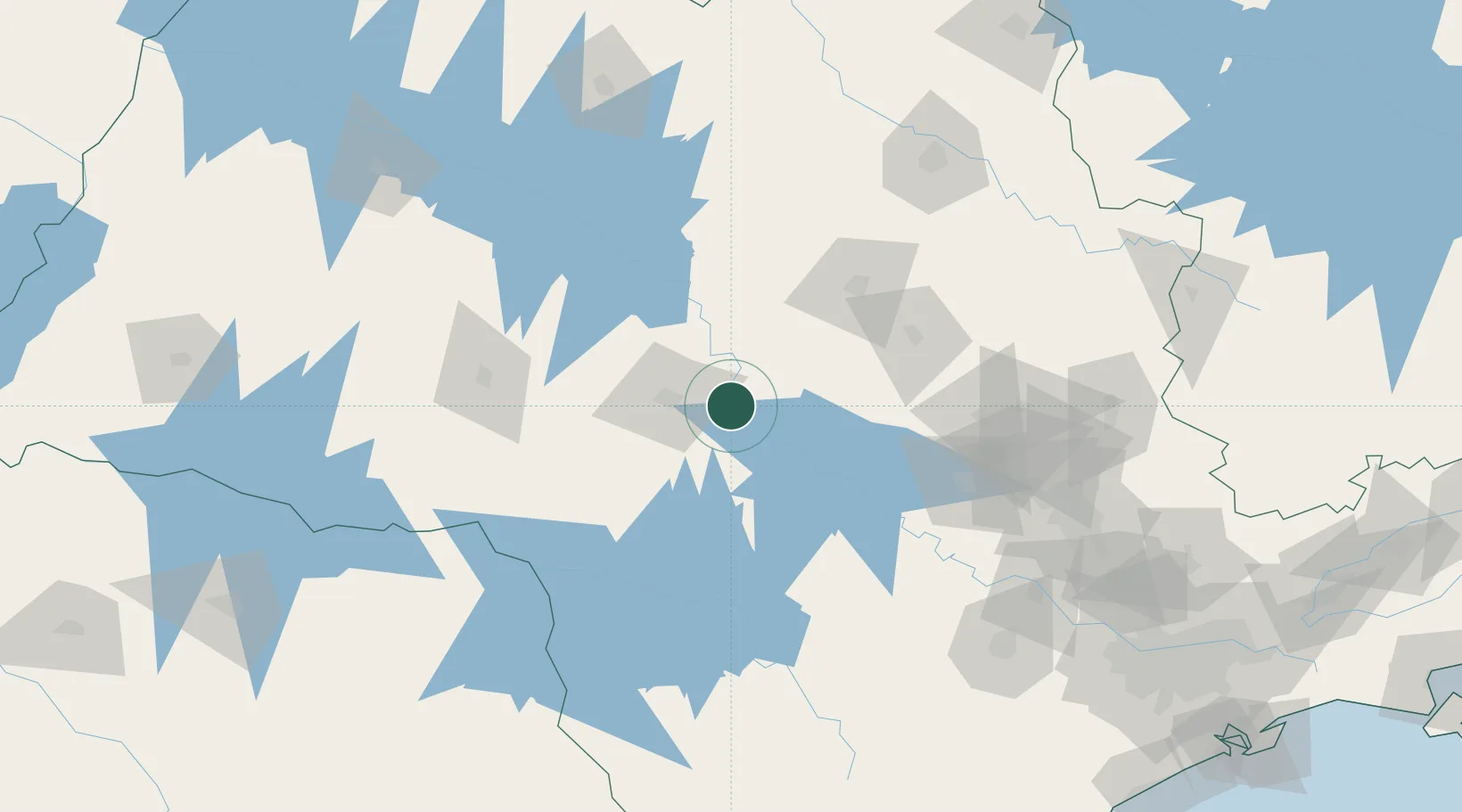
Location
Nearby Logistics Neighbours
Cities
- 1Jaú24 km
- 2Bauru31 km
- 3Bariri32 km
- 4Santa Maria da Serra68 km
- 5Anhembi82 km
Ports
- 1Santos309 km
- 2Paranagua351 km
- 3Sao Sebastiao380 km
- 4Sao Francisco434 km
- 5Angra Dos Reis463 km
Airports
Trade Zones
- 1ZPE de Fernandópolis (SP)276 km
- 2ZPE de Uberaba (MG)306 km
- 3ZPE de Bataguassú (MS)383 km
- 4ZPE de Itaguaí (RJ)516 km
- 5ZPE de Imbituba (SC)586 km
DatabookThe Record of Consolidated Knowledge
Brazil beyond logistics?