Medium airport · Brazil

Piloto Osvaldo Marques Dias AirportSBAT
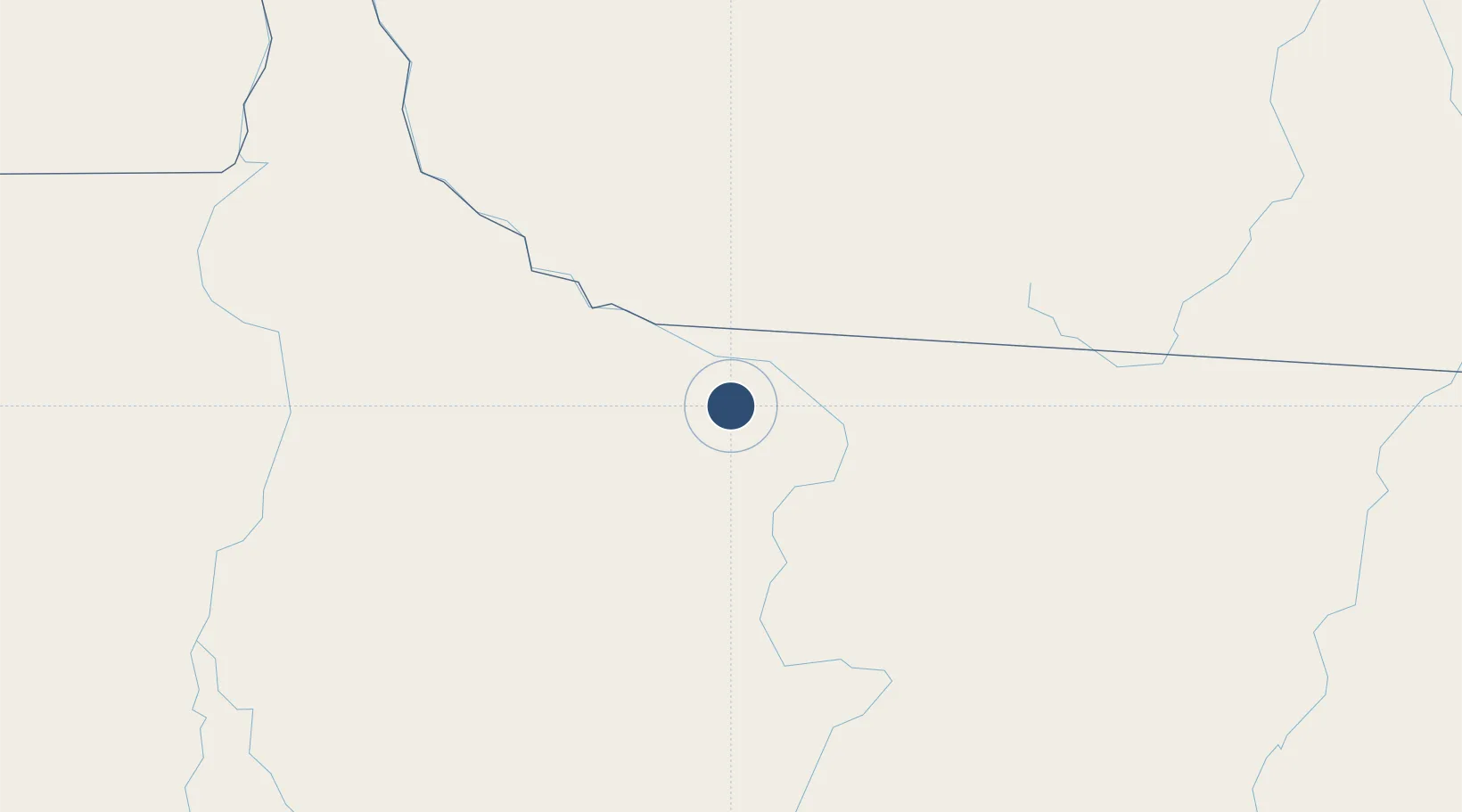
-9.8664°, -56.1063°
8,202 ft
Longest runway
1
Runways
948 ft
Elevation

Runway & Layout

Piloto Osvaldo Marques Dias Airport runway & taxiway layout
Runway & taxiway layout — OpenStreetMap (ODbL) / OurAirports

Radio Frequencies

RDO
126.6 MHz
OurAirports

Navaids

ATF VOR-DME Alta Floresta 113.40 MHz
ATF NDB Alta Floresta 245 kHz
OurAirports

Runways · 1

RunwayDimensions SurfaceTrue headingLit
3/21 8,202 × 98ft Asphalt
OurAirports

Airport Specifications

IATA code
AFL
OurAirports
ICAO code
SBAT
OurAirports
Airport class
Medium airport
OurAirports
Scheduled service
Yes
OurAirports
Runway surface
Asphalt
OurAirports
Served city
Alta Floresta
OurAirports

Location

Location of SBAT
Natural Earth 10m (public domain) · Mato Grosso · SBAT · -9.87, -56.11GoogleOSMYandex

Nearby Logistics Neighbours

Airports
  1. 1Campo de Provas Brigadeiro Veloso138 km
  2. 2Presidente João Batista Figueiredo Airport232 km
  3. 3Adolino Bedin Regional Airport294 km
  4. 4Jacareacanga Airport444 km
  5. 5Brigadeiro Camarão Airport537 km
Nearest neighbours — logibook spatial index (haversine) over the source coordinates
Cities
  1. 1Itaituba625 km
  2. 2Cuiabá634 km
  3. 3Várzea Grande643 km
  4. 4Novo Aripuanã707 km
  5. 5Vila Bela da Santíssima Trindade707 km
Nearest neighbours — logibook spatial index (haversine) over the source coordinates
Ports
  1. 1Itacoatiara790 km
  2. 2Santarem843 km
  3. 3Manaus864 km
  4. 4Cameta1118 km
  5. 5Porto Santana1220 km
Nearest neighbours — logibook spatial index (haversine) over the source coordinates
Trade Zones
  1. 1ZPE de Cáceres712 km
  2. 2Zona Franca de Manaus - Suframa (Manaus Free Zone)862 km
  3. 3ZPE de Araguaína (TO)917 km
  4. 4Zona Franca Puerto Suárez1030 km
  5. 5ZPE DE Corumbá1030 km
Nearest neighbours — logibook spatial index (haversine) over the source coordinates
DatabookThe Record of Consolidated Knowledge
Brazil beyond logistics?
Browse databook

All Sources

AirportsOurAirports
Public domain
Portsthe NGA World Port Index
Public domain (US gov)
LocationsUN/LOCODE
UN/LOCODE — free
Trade Zonesthe World Bank SEZ database
CC BY 4.0
Trade ZonesOpen Zone Map
CC BY
InfrastructureOpenStreetMap
ODbL 1.0
← Brazil airports