UN/LOCODE hub · Brazil
BRVIE

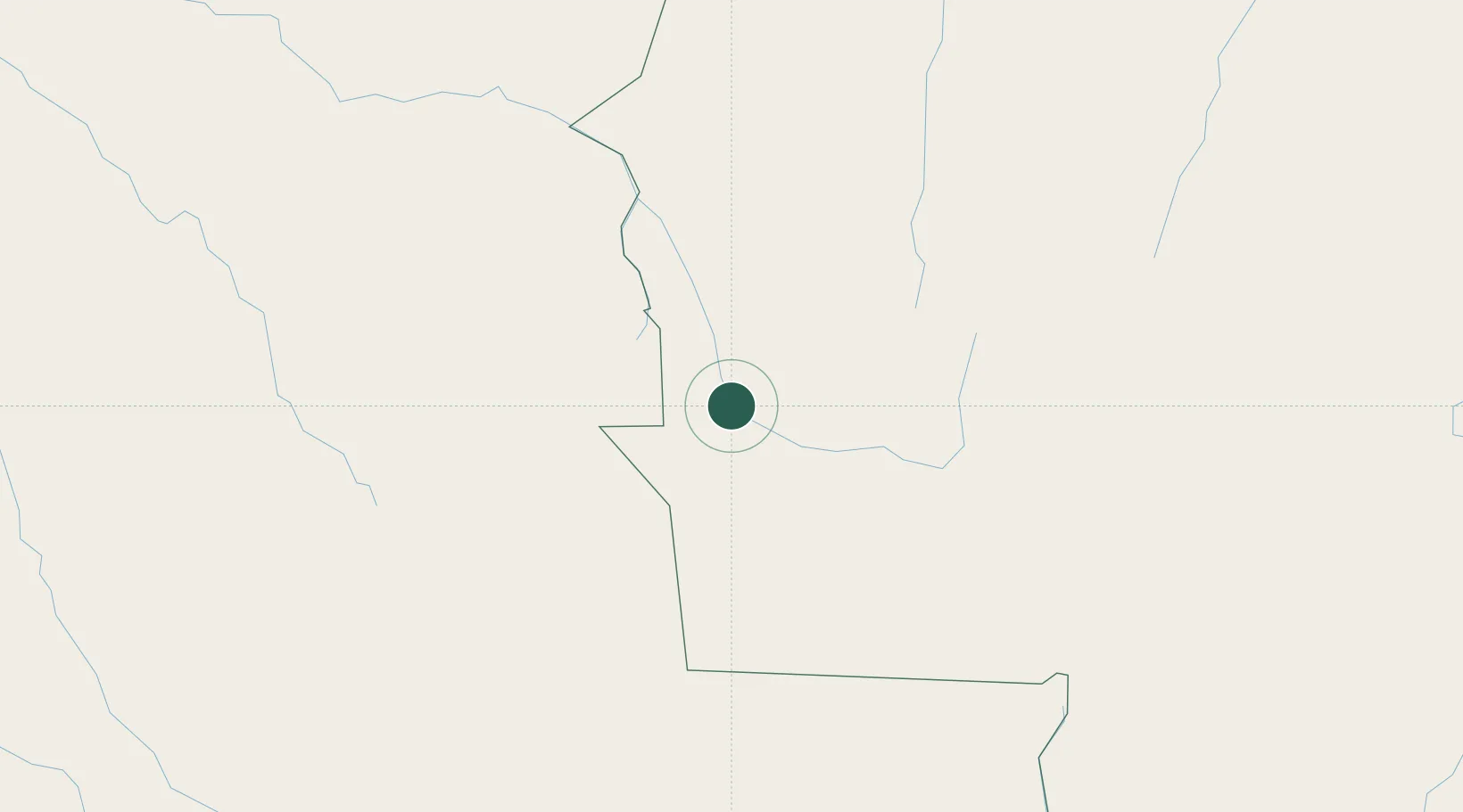
Vila Bela da Santíssima Trindade

-15.0000°, -59.9500°
17,384
Population
2
Transport functions

Transport Functions

Port
Road
UN/LOCODE

Hub Profile

Place type
Populated place
GeoNames
Region
Mato Grosso
GeoNames
Population
17,384
GeoNames
Time zone
America/Cuiaba
GeoNames
Elevation
200 m
GeoNames

Location

Location of BRVIE
Natural Earth 10m (public domain) · Mato Grosso · BRVIE · -15.00, -59.95GoogleOSMYandex

Nearby Logistics Neighbours

Cities
  1. 1Cáceres272 km
  2. 2Puerto Quijarro387 km
  3. 3Várzea Grande416 km
  4. 4Cuiabá421 km
  5. 5Santa Cruz450 km
Nearest neighbours — logibook spatial index (haversine) over the source coordinates
Ports
  1. 1Puerto De Asuncion1166 km
  2. 2Rada De Arica1171 km
  3. 3Iquique1227 km
  4. 4Puerto Ilo1253 km
  5. 5Caleta Patillos1258 km
Nearest neighbours — logibook spatial index (haversine) over the source coordinates
Airports
  1. 1André Antônio Maggi Airport64 km
  2. 2San Ignacio de Velasco Airport195 km
  3. 3Brigadeiro Camarão Airport257 km
  4. 4Tangará da Serra Airport272 km
  5. 5Várzea Grande–Marechal Rondon International Airport417 km
Nearest neighbours — logibook spatial index (haversine) over the source coordinates
Trade Zones
  1. 1ZPE de Cáceres270 km
  2. 2Santa Cruz Commercial and Industrial Free Zone446 km
  3. 3Winner Commercial and Industrial Free Zone459 km
  4. 4Zona Franca Puerto Suárez495 km
  5. 5Central Aguirre Portuaria504 km
Nearest neighbours — logibook spatial index (haversine) over the source coordinates
DatabookThe Record of Consolidated Knowledge
Brazil beyond logistics?
Browse databook

All Sources

LocationsUN/LOCODE
UN/LOCODE — free
LocationsGeoNames
CC BY 4.0
Portsthe NGA World Port Index
Public domain (US gov)
AirportsOurAirports
Public domain
Trade Zonesthe World Bank SEZ database
CC BY 4.0
Trade ZonesOpen Zone Map
CC BY
← Brazil locations