Transport Functions
Road
Multimodal
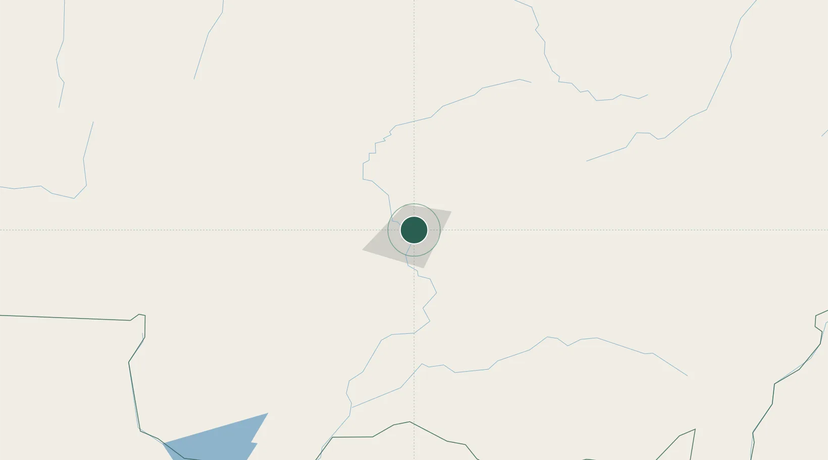
Hub Profile
Place type
Regional capital
Region
Mato Grosso
Population
618,124
Time zone
America/Cuiaba
Elevation
193 m
Location
Nearby Logistics Neighbours
Cities
- 1Várzea Grande12 km
- 2Cáceres180 km
- 3Rondonópolis194 km
- 4Itiquira275 km
- 5Puerto Quijarro306 km
Ports
- 1Puerto De Asuncion1092 km
- 2Paranagua1355 km
- 3Santos1382 km
- 4Itacoatiara1405 km
- 5Sao Francisco1416 km
Airports
Trade Zones
- 1ZPE de Cáceres182 km
- 2ZPE DE Corumbá418 km
- 3Central Aguirre Portuaria420 km
- 4Zona Franca Puerto Suárez423 km
- 5ZPE de Bataguassú (MS)782 km
DatabookThe Record of Consolidated Knowledge
Brazil beyond logistics?