Small airport · Brazil

Adolino Bedin Regional AirportSBSO
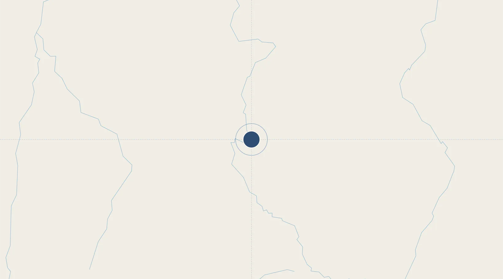
-12.4792°, -55.6723°
5,577 ft
Longest runway
1
Runways
1,266 ft
Elevation

Runway & Layout

Adolino Bedin Regional Airport runway & taxiway layout
Runway & taxiway layout — OpenStreetMap (ODbL) / OurAirports

Runways · 1

RunwayDimensions SurfaceTrue headingLit
05/23 5,577 × —ft Asphalt
OurAirports

Airport Specifications

IATA code
SMT
OurAirports
ICAO code
SBSO
OurAirports
Airport class
Small airport
OurAirports
Scheduled service
Yes
OurAirports
Runway surface
Asphalt
OurAirports
Served city
Sorriso
OurAirports

Location

Location of SBSO
Natural Earth 10m (public domain) · Mato Grosso · SBSO · -12.48, -55.67GoogleOSMYandex

Nearby Logistics Neighbours

Airports
  1. 1Presidente João Batista Figueiredo Airport67 km
  2. 2Piloto Osvaldo Marques Dias Airport294 km
  3. 3Tangará da Serra Airport309 km
  4. 4Várzea Grande–Marechal Rondon International Airport356 km
  5. 5Campo de Provas Brigadeiro Veloso358 km
Nearest neighbours — logibook spatial index (haversine) over the source coordinates
Cities
  1. 1Cuiabá346 km
  2. 2Várzea Grande356 km
  3. 3Cáceres453 km
  4. 4Rondonópolis481 km
  5. 5Vila Bela da Santíssima Trindade540 km
Nearest neighbours — logibook spatial index (haversine) over the source coordinates
Ports
  1. 1Itacoatiara1081 km
  2. 2Santarem1124 km
  3. 3Manaus1144 km
  4. 4Cameta1325 km
  5. 5Vila Do Conde1435 km
Nearest neighbours — logibook spatial index (haversine) over the source coordinates
Trade Zones
  1. 1ZPE de Cáceres455 km
  2. 2ZPE DE Corumbá756 km
  3. 3Central Aguirre Portuaria757 km
  4. 4Zona Franca Puerto Suárez758 km
  5. 5Santa Cruz Commercial and Industrial Free Zone983 km
Nearest neighbours — logibook spatial index (haversine) over the source coordinates
DatabookThe Record of Consolidated Knowledge
Brazil beyond logistics?
Browse databook

All Sources

AirportsOurAirports
Public domain
Portsthe NGA World Port Index
Public domain (US gov)
LocationsUN/LOCODE
UN/LOCODE — free
Trade Zonesthe World Bank SEZ database
CC BY 4.0
Trade ZonesOpen Zone Map
CC BY
InfrastructureOpenStreetMap
ODbL 1.0
← Brazil airports