Small airport · Brazil

Presidente João Batista Figueiredo AirportSBSI
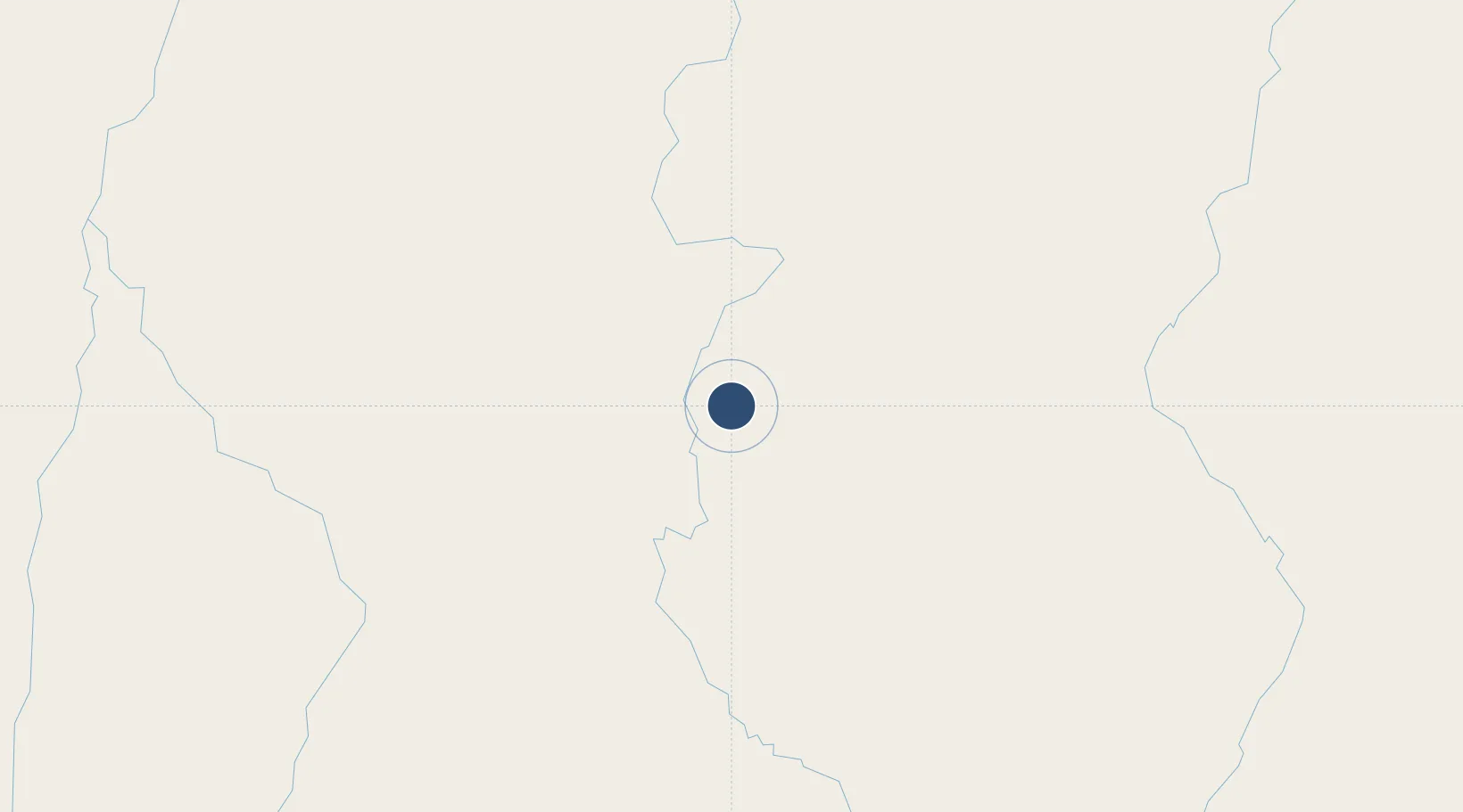
-11.8850°, -55.5861°
5,348 ft
Longest runway
1
Runways
1,227 ft
Elevation

Runway & Layout

Presidente João Batista Figueiredo Airport runway & taxiway layout
Runway & taxiway layout — OpenStreetMap (ODbL) / OurAirports

Runways · 1

RunwayDimensions SurfaceTrue headingLit
3/21 5,348 × 98ft Asphalt
OurAirports

Airport Specifications

IATA code
OPS
OurAirports
ICAO code
SBSI
OurAirports
Airport class
Small airport
OurAirports
Scheduled service
Yes
OurAirports
Runway surface
Asphalt
OurAirports
Served city
Sinop
OurAirports

Location

Location of SBSI
Natural Earth 10m (public domain) · Mato Grosso · SBSI · -11.89, -55.59GoogleOSMYandex

Nearby Logistics Neighbours

Airports
  1. 1Adolino Bedin Regional Airport67 km
  2. 2Piloto Osvaldo Marques Dias Airport232 km
  3. 3Campo de Provas Brigadeiro Veloso292 km
  4. 4Tangará da Serra Airport369 km
  5. 5Várzea Grande–Marechal Rondon International Airport423 km
Nearest neighbours — logibook spatial index (haversine) over the source coordinates
Cities
  1. 1Cuiabá413 km
  2. 2Várzea Grande423 km
  3. 3Cáceres516 km
  4. 4Rondonópolis544 km
  5. 5Vila Bela da Santíssima Trindade585 km
Nearest neighbours — logibook spatial index (haversine) over the source coordinates
Ports
  1. 1Itacoatiara1021 km
  2. 2Santarem1057 km
  3. 3Manaus1089 km
  4. 4Cameta1264 km
  5. 5Vila Do Conde1374 km
Nearest neighbours — logibook spatial index (haversine) over the source coordinates
Trade Zones
  1. 1ZPE de Cáceres518 km
  2. 2ZPE DE Corumbá823 km
  3. 3Central Aguirre Portuaria823 km
  4. 4Zona Franca Puerto Suárez824 km
  5. 5ZPE de Araguaína (TO)962 km
Nearest neighbours — logibook spatial index (haversine) over the source coordinates
DatabookThe Record of Consolidated Knowledge
Brazil beyond logistics?
Browse databook

All Sources

AirportsOurAirports
Public domain
Portsthe NGA World Port Index
Public domain (US gov)
LocationsUN/LOCODE
UN/LOCODE — free
Trade Zonesthe World Bank SEZ database
CC BY 4.0
Trade ZonesOpen Zone Map
CC BY
InfrastructureOpenStreetMap
ODbL 1.0
← Brazil airports