Medium airport · Brazil

Campo de Provas Brigadeiro VelosoSBCC
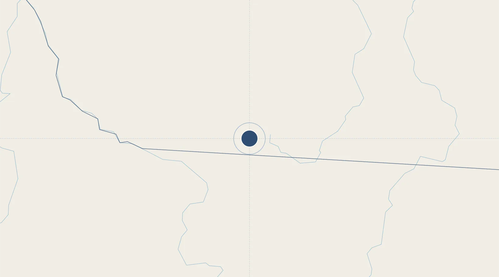
-9.3339°, -54.9654°
8,527 ft
Longest runway
1
Runways
1,777 ft
Elevation

Runway & Layout

Campo de Provas Brigadeiro Veloso runway & taxiway layout
Runway & taxiway layout — OpenStreetMap (ODbL) / OurAirports

Radio Frequencies

AFIS
125.9 MHz
RDO
OurAirports

Navaids

CXB VOR-DME Cachimbo 115.10 MHz
CXB NDB Cachimbo 215 kHz
OurAirports

Runways · 1

RunwayDimensions SurfaceTrue headingLit
12/30 8,527 × 148ft Asphalt
OurAirports

Airport Specifications

ICAO code
SBCC
OurAirports
Airport class
Medium airport
OurAirports
Scheduled service
No
OurAirports
Runway surface
Asphalt
OurAirports
Served city
Novo Progresso
OurAirports

Location

Location of SBCC
Natural Earth 10m (public domain) · Pará · SBCC · -9.33, -54.97GoogleOSMYandex

Nearby Logistics Neighbours

Airports
  1. 1Piloto Osvaldo Marques Dias Airport138 km
  2. 2Presidente João Batista Figueiredo Airport292 km
  3. 3Adolino Bedin Regional Airport358 km
  4. 4Jacareacanga Airport464 km
  5. 5Itaituba Airport578 km
Nearest neighbours — logibook spatial index (haversine) over the source coordinates
Cities
  1. 1Itaituba576 km
  2. 2Araguacema598 km
  3. 3Conceição do Araguaia640 km
  4. 4Canaã dos Carajás646 km
  5. 5Parauapebas666 km
Nearest neighbours — logibook spatial index (haversine) over the source coordinates
Ports
  1. 1Santarem770 km
  2. 2Itacoatiara788 km
  3. 3Manaus887 km
  4. 4Cameta993 km
  5. 5Vila Do Conde1105 km
Nearest neighbours — logibook spatial index (haversine) over the source coordinates
Trade Zones
  1. 1ZPE de Araguaína (TO)780 km
  2. 2ZPE de Cáceres806 km
  3. 3Zona Franca de Manaus - Suframa (Manaus Free Zone)884 km
  4. 4ZPE DE Corumbá1114 km
  5. 5Central Aguirre Portuaria1115 km
Nearest neighbours — logibook spatial index (haversine) over the source coordinates
DatabookThe Record of Consolidated Knowledge
Brazil beyond logistics?
Browse databook

All Sources

AirportsOurAirports
Public domain
Portsthe NGA World Port Index
Public domain (US gov)
LocationsUN/LOCODE
UN/LOCODE — free
Trade Zonesthe World Bank SEZ database
CC BY 4.0
Trade ZonesOpen Zone Map
CC BY
InfrastructureOpenStreetMap
ODbL 1.0
← Brazil airports