Medium airport · Brazil

Brigadeiro Camarão AirportSBVH
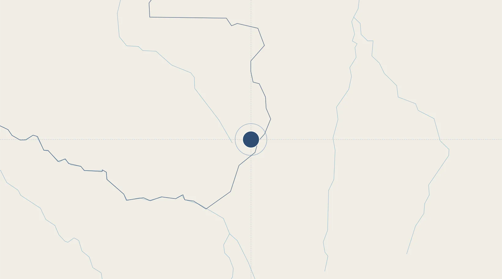
-12.6944°, -60.0983°
8,530 ft
Longest runway
1
Runways
2,018 ft
Elevation

Runway & Layout

Brigadeiro Camarão Airport runway & taxiway layout
Runway & taxiway layout — OpenStreetMap (ODbL) / OurAirports

Radio Frequencies

AFIS
125.9 MHz
RDO
OurAirports

Navaids

VLH VOR-DME Vilhena 112.10 MHz
VLH NDB Vilhena 395 kHz
OurAirports

Runways · 1

RunwayDimensions SurfaceTrue headingLit
03/21 8,530 × 98ft Asphalt
OurAirports

Airport Specifications

IATA code
BVH
OurAirports
ICAO code
SBVH
OurAirports
Airport class
Medium airport
OurAirports
Scheduled service
Yes
OurAirports
Runway surface
Asphalt
OurAirports
Served city
Vilhena
OurAirports

Location

Location of SBVH
Natural Earth 10m (public domain) · Rondônia · SBVH · -12.69, -60.10GoogleOSMYandex

Nearby Logistics Neighbours

Airports
  1. 1Cacoal Airport198 km
  2. 2Ji-Paraná Airport278 km
  3. 3André Antônio Maggi Airport288 km
  4. 4Tangará da Serra Airport361 km
  5. 5San Ignacio de Velasco Airport425 km
Nearest neighbours — logibook spatial index (haversine) over the source coordinates
Cities
  1. 1Vila Bela da Santíssima Trindade257 km
  2. 2Cáceres457 km
  3. 3Várzea Grande539 km
  4. 4Cuiabá539 km
  5. 5Trinidad571 km
Nearest neighbours — logibook spatial index (haversine) over the source coordinates
Ports
  1. 1Manaus1063 km
  2. 2Itacoatiara1077 km
  3. 3Rada De Arica1270 km
  4. 4Santarem1287 km
  5. 5Puerto Ilo1328 km
Nearest neighbours — logibook spatial index (haversine) over the source coordinates
Trade Zones
  1. 1ZPE de Cáceres457 km
  2. 2Santa Cruz Commercial and Industrial Free Zone634 km
  3. 3Winner Commercial and Industrial Free Zone652 km
  4. 4Zona Franca Puerto Suárez739 km
  5. 5Central Aguirre Portuaria746 km
Nearest neighbours — logibook spatial index (haversine) over the source coordinates
DatabookThe Record of Consolidated Knowledge
Brazil beyond logistics?
Browse databook

All Sources

AirportsOurAirports
Public domain
Portsthe NGA World Port Index
Public domain (US gov)
LocationsUN/LOCODE
UN/LOCODE — free
Trade Zonesthe World Bank SEZ database
CC BY 4.0
Trade ZonesOpen Zone Map
CC BY
InfrastructureOpenStreetMap
ODbL 1.0
← Brazil airports