Medium airport · Japan
Hachijojima AirportRJTH
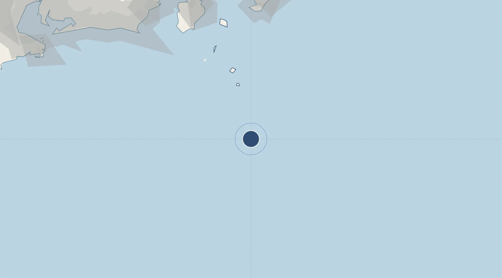
33.1148°, 139.7856°
6,563 ft
Longest runway
1
Runways
303 ft
Elevation
Runway & Layout

Radio Frequencies
A/G
118.7 MHz
RDO
Navaids
HC NDB Hachijojima 340 kHz
HCE VOR-DME Hachijojima 116.65 MHz
Runways · 1
| Runway | Dimensions | Surface | True heading | Lit |
|---|---|---|---|---|
| 08/26 | 6,563 × 148ft | Asphalt | 070° | ✓ |
Airport Specifications
IATA code
HAC
ICAO code
RJTH
Airport class
Medium airport
Scheduled service
Yes
Runway surface
Asphalt
Served city
Hachijojima
Location
Nearby Logistics Neighbours
Airports
- 1Miyakejima Airport109 km
- 2Niijima Airport148 km
- 3Oshima Airport190 km
- 4JMSDF Tateyama Air Base208 km
- 5JASDF Shizuhama Air Base233 km
Cities
- 1Toshima/Tokyo163 km
- 2Nishitokyo182 km
- 3Iruma190 km
- 4Omaezaki222 km
- 5Shimada242 km
Ports
- 1Shimoda Ko189 km
- 2Tateyama Ko210 km
- 3Omaezaki Ko219 km
- 4Uraga Ko236 km
- 5Yokosuka Ko241 km
Trade Zones
DatabookThe Record of Consolidated Knowledge
Japan beyond logistics?