UN/LOCODE hub · Japan
JPSBS
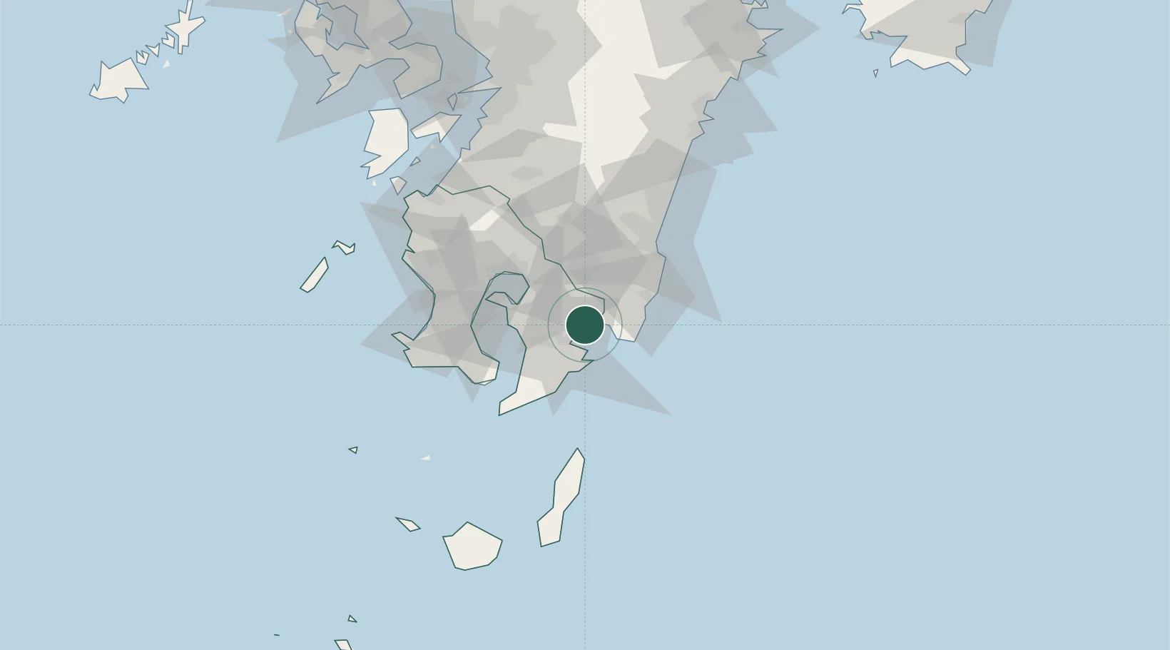
Shibushi
31.4575°, 131.0902°
30,231
Population
1
Transport functions
1
Container terminals
Transport Functions
Port
Hub Profile
Place type
Provincial seat
Region
Kagoshima
Population
30,231
Time zone
Asia/Tokyo
Elevation
11 m
Logistics facilities
5
Container terminals
1
Location
Nearby Logistics Neighbours
Cities
- 1Fukushima, Miyazaki12 km
- 2Soo22 km
- 3Aburatsu29 km
- 4Kagoshima52 km
- 5Aira53 km
Ports
- 1Kagoshima Ko52 km
- 2Kiire52 km
- 3Minamata Ko106 km
- 4Hososhima Ko121 km
- 5Yatsushiro Ko127 km
Airports
- 1JMSDF Kanoya Air Base26 km
- 2Kagoshima Airport52 km
- 3Miyazaki Airport58 km
- 4New Tanegashima Airport95 km
- 5Yakushima Airport126 km
DatabookThe Record of Consolidated Knowledge
Japan beyond logistics?