UN/LOCODE hub · Japan
JPABU

Aburatsu

31.5521°, 131.3756°
1
Transport functions
1
Container terminals

Transport Functions

Port
UN/LOCODE

Hub Profile

Place type
Populated place
GeoNames
Region
Miyazaki
GeoNames
Time zone
Asia/Tokyo
GeoNames
Elevation
41 m
GeoNames
Logistics facilities
2
UN/LOCODE
Container terminals
1
UN/LOCODE

Location

Location of JPABU
Natural Earth 10m (public domain) · Miyazaki · JPABU · 31.55, 131.38GoogleOSMYandex

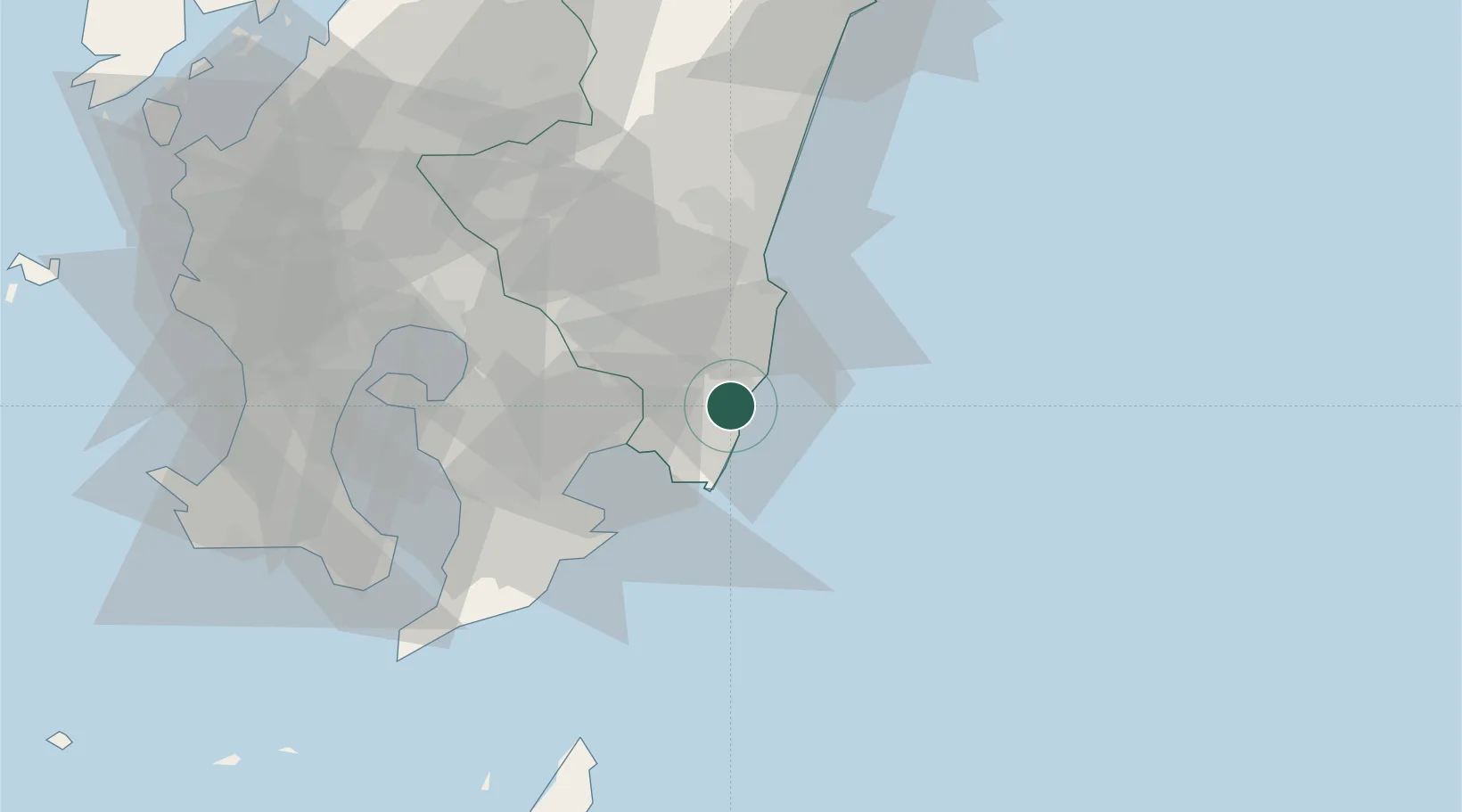
Nearby Logistics Neighbours

Cities
  1. 1Fukushima, Miyazaki18 km
  2. 2Shibushi29 km
  3. 3Soo38 km
  4. 4Aira73 km
  5. 5Ebino, Miyazaki75 km
Nearest neighbours — logibook spatial index (haversine) over the source coordinates
Ports
  1. 1Shibushi Wan28 km
  2. 2Kagoshima Ko77 km
  3. 3Kiire81 km
  4. 4Hososhima Ko102 km
  5. 5Minamata Ko118 km
Nearest neighbours — logibook spatial index (haversine) over the source coordinates
Airports
  1. 1Miyazaki Airport37 km
  2. 2JMSDF Kanoya Air Base55 km
  3. 3Kagoshima Airport68 km
  4. 4New Tanegashima Airport112 km
  5. 5Yakushima Airport147 km
Nearest neighbours — logibook spatial index (haversine) over the source coordinates
DatabookThe Record of Consolidated Knowledge
Japan beyond logistics?
Browse databook

All Sources

LocationsUN/LOCODE
UN/LOCODE — free
Portsthe NGA World Port Index
Public domain (US gov)
AirportsOurAirports
Public domain
Trade Zonesthe World Bank SEZ database
CC BY 4.0
Trade ZonesOpen Zone Map
CC BY
← Japan locations