Transport Functions
Port
Road
Airport
Hub Profile
Region
45
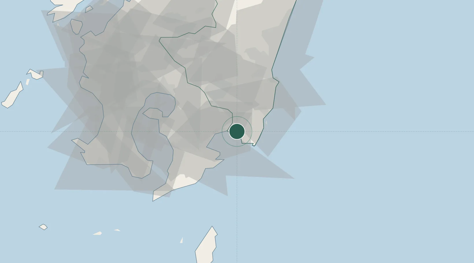
Location
Nearby Logistics Neighbours
Ports
- 1Shibushi Wan11 km
- 2Kagoshima Ko63 km
- 3Kiire64 km
- 4Minamata Ko113 km
- 5Hososhima Ko116 km
Airports
- 1JMSDF Kanoya Air Base38 km
- 2Miyazaki Airport51 km
- 3Kagoshima Airport60 km
- 4New Tanegashima Airport98 km
- 5Yakushima Airport132 km
DatabookThe Record of Consolidated Knowledge
Japan beyond logistics?