Medium airport · United States
Allen Army AirfieldPABI
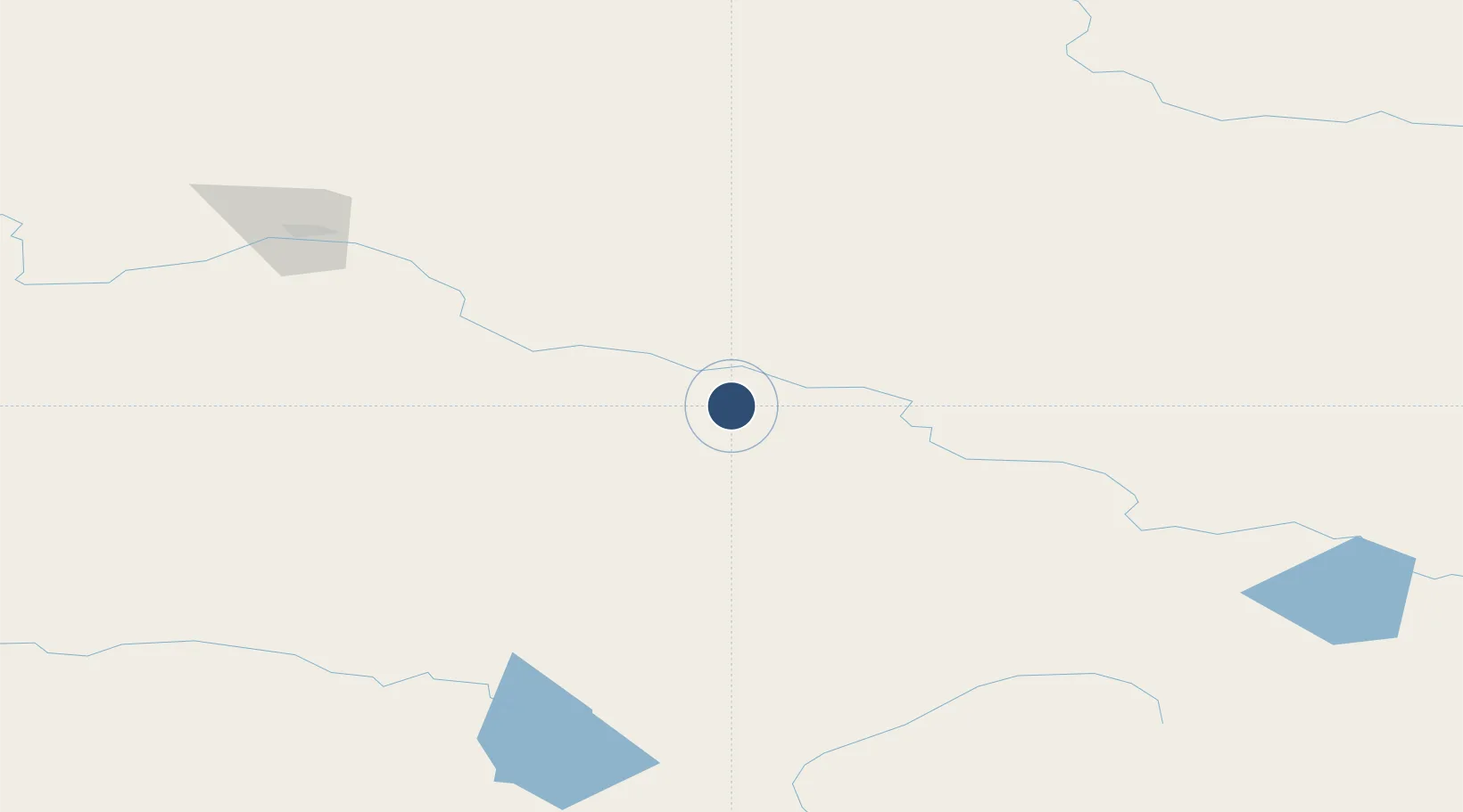
63.9945°, -145.7220°
9,000 ft
Longest runway
3
Runways
1,291 ft
Elevation
Runway & Layout

Radio Frequencies
ATIS
132.075 MHz
ASOS
135.65 MHz
AWOS
114.9 MHz
TWEB
TWR
125.325 MHz
GND
118.225 MHz
FORT GREELY GND
CTAF
122.9 MHz
CNTR
135.3 MHz
ANCHORAGE CNTR
FSS
122.2 MHz
FAIRBANKS RDO
MISC
38.3 MHz
FT GREELY RANGE CON
OPS
122.9 MHz
BASE OPS
Navaids
BIG VORTAC Big Delta 114.90 MHz
DJN NDB Delta Junction 347 kHz
Runways · 3
| Runway | Dimensions | Surface | True heading | Lit |
|---|---|---|---|---|
| 01/19 | 9,000 × 150ft | ASPH-G | 030° | — |
| 10/28 | 6,115 × 150ft | ASPH-G | 125° | — |
| 07/25 | 4,057 × 88ft | ASPH-G | 092° | — |
Airport Specifications
IATA code
BIG
ICAO code
PABI
Airport class
Medium airport
Scheduled service
No
Runway surface
ASPH-G
Served city
Delta Junction Ft Greely
Location
Nearby Logistics Neighbours
Airports
- 1Eielson Air Force Base100 km
- 2Ladd Army Airfield131 km
- 3Fairbanks International Airport137 km
- 4Tok Junction Airport155 km
- 5Healy River Airport159 km
Cities
- 1Valdez321 km
- 2Houston335 km
- 3Susitna366 km
- 4Elmendorf Air Force Base370 km
- 5Port MacKenzie371 km
Trade Zones
- 1FTZ No. 195 Fairbanks135 km
- 2FTZ No. 108 Valdez320 km
- 3FTZ No. 160 Anchorage373 km
- 4FTZ No. 232 Kodiak843 km
- 5PrInce George Logistics Park1713 km
DatabookThe Record of Consolidated Knowledge
United States beyond logistics?