Small airport · United States
Nunapitchuk Airport16A
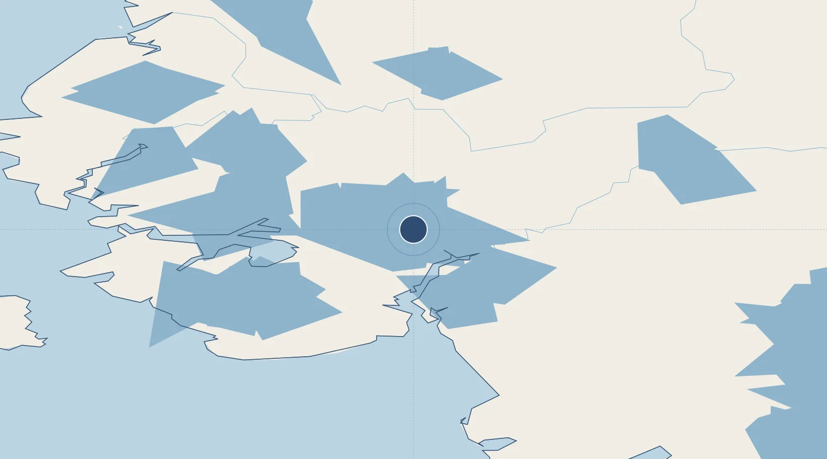
60.9056°, -162.4405°
3,000 ft
Longest runway
2
Runways
12 ft
Elevation
Runway & Layout

Runways · 2
| Runway | Dimensions | Surface | True heading | Lit |
|---|---|---|---|---|
| NE/SW | 3,000 × 300ft | Water | — | — |
| 18/36 | 2,420 × 75ft | GRVL-G | 196° | ✓ |
Airport Specifications
IATA code
NUP
ICAO code
PPIT
Airport class
Small airport
Scheduled service
Yes
Runway surface
Water
Served city
Nunapitchuk
Location
Nearby Logistics Neighbours
Airports
- 1Kasigluk Airport6 km
- 2Atmautluak Airport10 km
- 3Napakiak Airport35 km
- 4Bethel Airport36 km
- 5Napaskiak Airport42 km
Cities
- 1Sledge Island442 km
- 2Jakolof Bay625 km
- 3Afognak634 km
- 4Susitna642 km
- 5Lenard Harbour644 km
Ports
- 1Bethel40 km
- 2Platinum213 km
- 3Kotlik244 km
- 4St. Michael287 km
- 5Dillingham303 km
Trade Zones
- 1FTZ No. 232 Kodiak628 km
- 2FTZ No. 160 Anchorage675 km
- 3FTZ No. 195 Fairbanks863 km
- 4FTZ No. 108 Valdez865 km
- 5PrInce George Logistics Park2457 km
DatabookThe Record of Consolidated Knowledge
United States beyond logistics?