Small airport · United States
Atmautluak Airport4A2
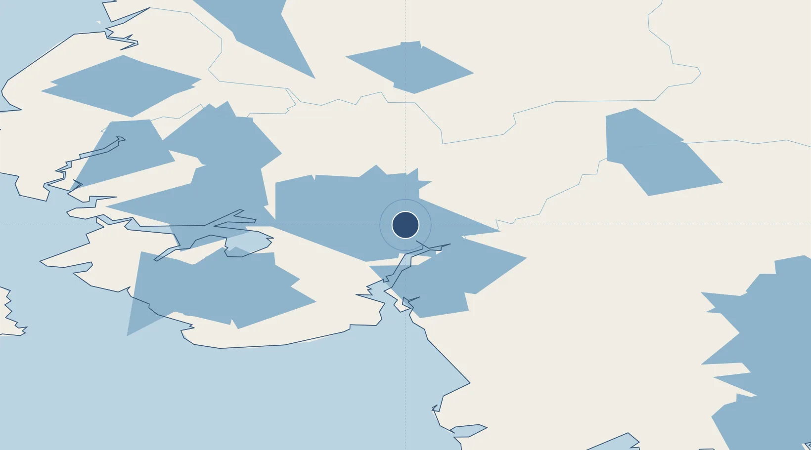
60.8667°, -162.2730°
3,000 ft
Longest runway
1
Runways
17 ft
Elevation
Runway & Layout

Runways · 1
| Runway | Dimensions | Surface | True heading | Lit |
|---|---|---|---|---|
| 15/33 | 3,000 × 75ft | GRAVEL-G | — | ✓ |
Airport Specifications
IATA code
ATT
Airport class
Small airport
Scheduled service
Yes
Runway surface
GRAVEL-G
Served city
Atmautluak
Location
Nearby Logistics Neighbours
Airports
- 1Nunapitchuk Airport10 km
- 2Kasigluk Airport14 km
- 3Napakiak Airport25 km
- 4Bethel Airport26 km
- 5Napaskiak Airport33 km
Cities
- 1Sledge Island449 km
- 2Jakolof Bay615 km
- 3Afognak624 km
- 4Susitna634 km
- 5Lenard Harbour639 km
Ports
- 1Bethel31 km
- 2Platinum207 km
- 3Kotlik250 km
- 4St. Michael291 km
- 5Dillingham293 km
Trade Zones
- 1FTZ No. 232 Kodiak618 km
- 2FTZ No. 160 Anchorage667 km
- 3FTZ No. 108 Valdez856 km
- 4FTZ No. 195 Fairbanks858 km
- 5PrInce George Logistics Park2448 km
DatabookThe Record of Consolidated Knowledge
United States beyond logistics?