Small airport · United States
Port Alsworth AirportPALJ
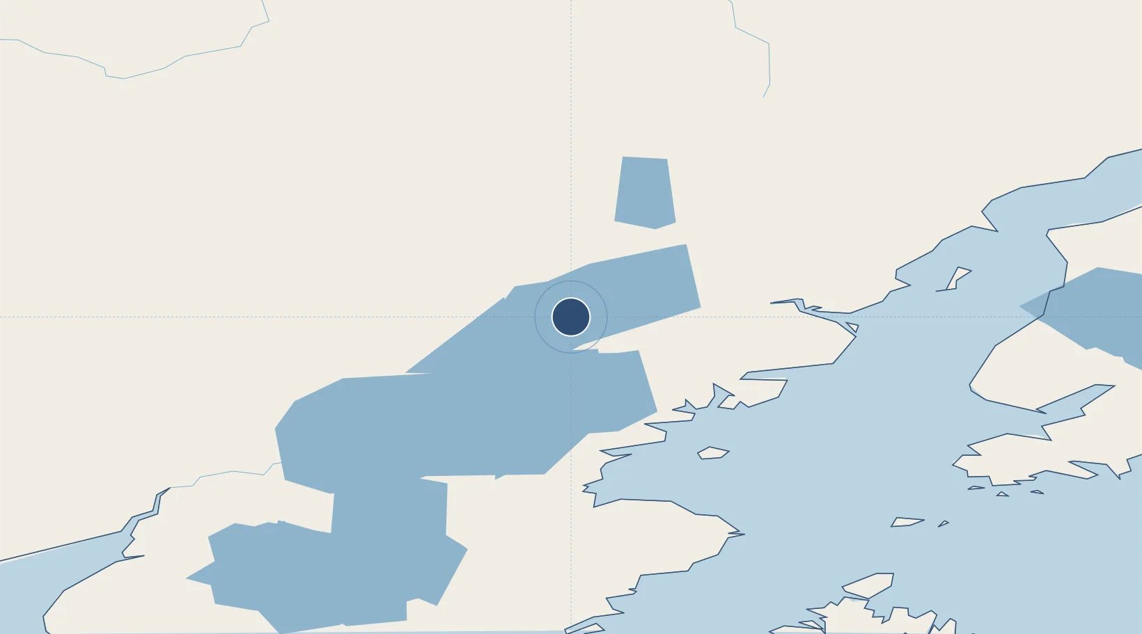
60.2017°, -154.3259°
3,000 ft
Longest runway
1
Runways
280 ft
Elevation
Runway & Layout

Runways · 1
| Runway | Dimensions | Surface | True heading | Lit |
|---|---|---|---|---|
| 05/23 | 3,000 × 100ft | DIRT-GRVL | — | — |
Airport Specifications
IATA code
PTA
ICAO code
PALJ
Airport class
Small airport
Scheduled service
Yes
Runway surface
DIRT-GRVL
Served city
Port Alsworth
Location
Nearby Logistics Neighbours
Airports
- 1Pedro Bay Airport46 km
- 2Iliamna Airport59 km
- 3Kokhanok Airport90 km
- 4Sparrevohn LRRS Airport121 km
- 5Igiugig Airport132 km
Cities
- 1Jakolof Bay178 km
- 2Susitna255 km
- 3Afognak261 km
- 4Port MacKenzie267 km
- 5Anchorage268 km
Ports
- 1Drift River127 km
- 2Ninilchik147 km
- 3Seldovia168 km
- 4Nikiski169 km
- 5Port Graham169 km
Trade Zones
- 1FTZ No. 160 Anchorage267 km
- 2FTZ No. 232 Kodiak306 km
- 3FTZ No. 108 Valdez446 km
- 4FTZ No. 195 Fairbanks617 km
- 5PrInce George Logistics Park2010 km
DatabookThe Record of Consolidated Knowledge
United States beyond logistics?