Small airport · United States
Twin Hills AirportA63
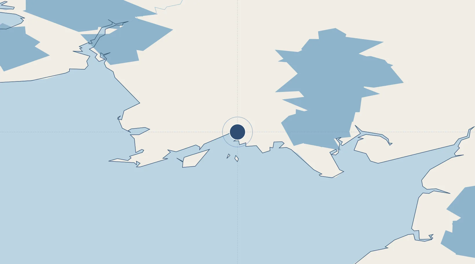
59.0747°, -160.2750°
3,000 ft
Longest runway
1
Runways
82 ft
Elevation
Runway & Layout

Runways · 1
| Runway | Dimensions | Surface | True heading | Lit |
|---|---|---|---|---|
| 18/36 | 3,000 × 60ft | GRAVEL-G | — | ✓ |
Airport Specifications
IATA code
TWA
ICAO code
A63
Airport class
Small airport
Scheduled service
Yes
Runway surface
GRAVEL-G
Served city
Twin Hills
Location
Nearby Logistics Neighbours
Airports
- 1Togiak Airport7 km
- 2Goodnews Airport74 km
- 3Manokotak Airport80 km
- 4Platinum Airport89 km
- 5Aleknagik / New Airport97 km
Cities
- 1Afognak452 km
- 2Kaguyak455 km
- 3Lenard Harbour459 km
- 4Jakolof Bay499 km
- 5Susitna603 km
Ports
- 1Platinum89 km
- 2Clarks Point102 km
- 3Ekuk102 km
- 4Dillingham103 km
- 5Naknek191 km
Trade Zones
- 1FTZ No. 232 Kodiak425 km
- 2FTZ No. 160 Anchorage622 km
- 3FTZ No. 108 Valdez803 km
- 4FTZ No. 195 Fairbanks915 km
- 5PrInce George Logistics Park2340 km
DatabookThe Record of Consolidated Knowledge
United States beyond logistics?