Small airport · United States
Minchumina AirportPAMH
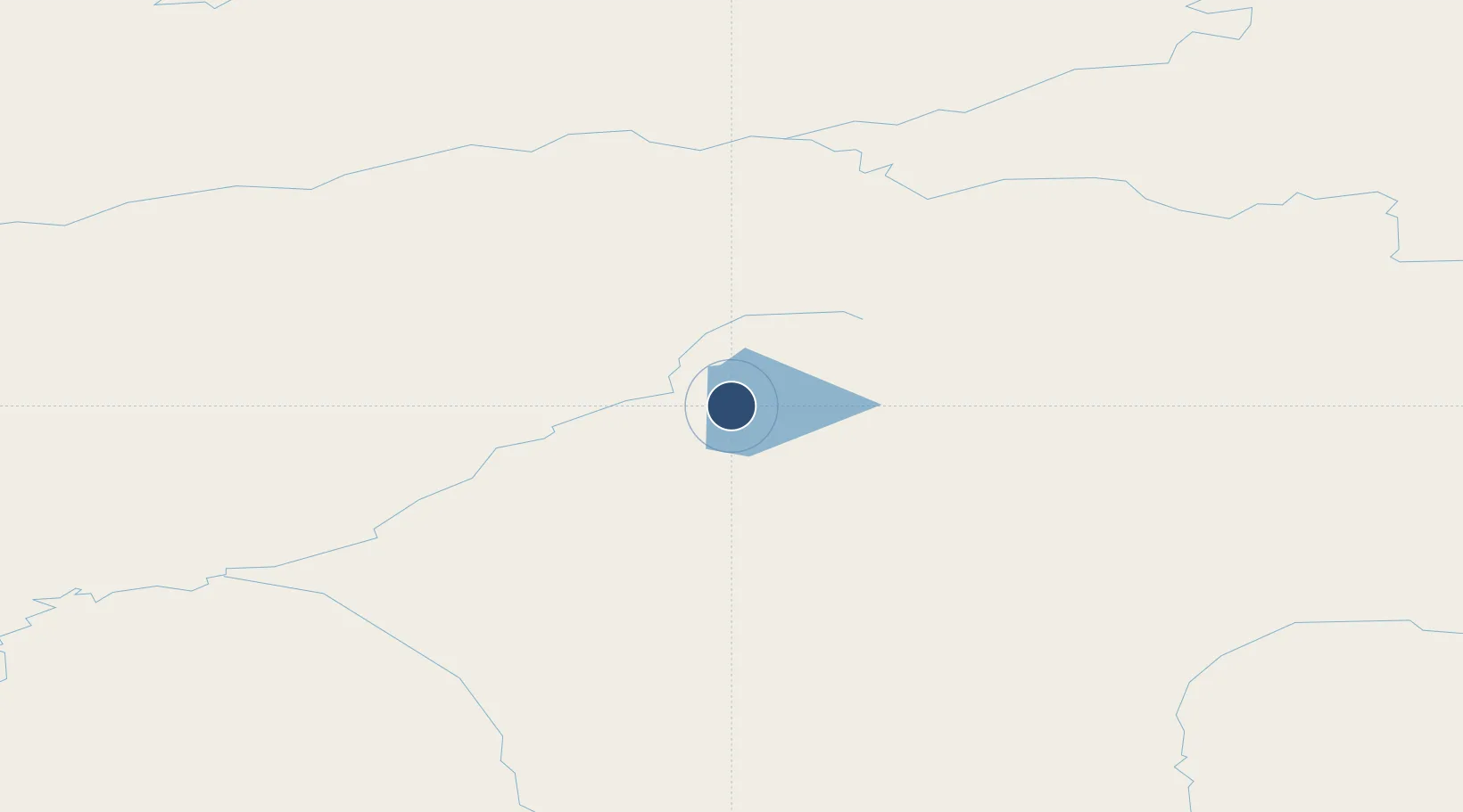
63.8860°, -152.3020°
4,184 ft
Longest runway
1
Runways
678 ft
Elevation
Runway & Layout

Radio Frequencies
AWOS
135.55 MHz
AWOS 3
CTAF
122.9 MHz
A/D
120.9 MHz
ANCHORAGE CNTR
FSS
122.2 MHz
FAIRBANKS RDO
Navaids
MHM NDB Minchumina 227 kHz
Runways · 1
| Runway | Dimensions | Surface | True heading | Lit |
|---|---|---|---|---|
| 03/21 | 4,184 × 100ft | Gravel | 045° | — |
Airport Specifications
IATA code
LMA
ICAO code
PAMH
Airport class
Small airport
Scheduled service
Yes
Runway surface
Gravel
Served city
Minchumina
Location
Nearby Logistics Neighbours
Airports
- 1Nikolai Airport141 km
- 2Ralph M Calhoun Memorial Airport144 km
- 3Manley Hot Springs Airport146 km
- 4Clear Airport161 km
- 5Healy River Airport163 km
Cities
- 1Susitna277 km
- 2Houston281 km
- 3Port MacKenzie316 km
- 4Anchorage320 km
- 5Elmendorf Air Force Base320 km
Ports
- 1Anchorage321 km
- 2Nikiski359 km
- 3Drift River371 km
- 4Kenai375 km
- 5Whittier392 km
Trade Zones
- 1FTZ No. 195 Fairbanks245 km
- 2FTZ No. 160 Anchorage319 km
- 3FTZ No. 108 Valdez432 km
- 4FTZ No. 232 Kodiak717 km
- 5PrInce George Logistics Park1999 km
DatabookThe Record of Consolidated Knowledge
United States beyond logistics?