Small airport · United States
Nikolai AirportPAFS
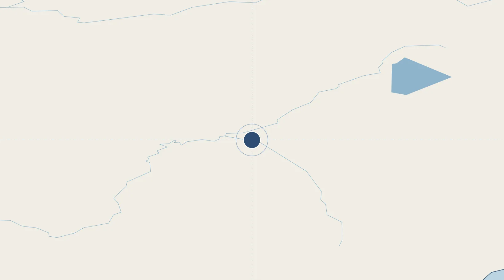
63.0179°, -154.3604°
4,003 ft
Longest runway
1
Runways
441 ft
Elevation
Runway & Layout

Runways · 1
| Runway | Dimensions | Surface | True heading | Lit |
|---|---|---|---|---|
| 04/22 | 4,003 × 75ft | GRVL-G | 063° | — |
Airport Specifications
IATA code
NIB
ICAO code
PAFS
Airport class
Small airport
Scheduled service
Yes
Runway surface
GRVL-G
Served city
Nikolai
Location
Nearby Logistics Neighbours
Airports
- 1McGrath Airport63 km
- 2Tatalina LRRS Airport83 km
- 3Takotna Airport84 km
- 4Minchumina Airport141 km
- 5Stony River 2 Airport178 km
Cities
- 1Susitna259 km
- 2Houston281 km
- 3Port MacKenzie302 km
- 4Anchorage306 km
- 5Elmendorf Air Force Base308 km
Ports
- 1Drift River298 km
- 2Nikiski302 km
- 3Anchorage306 km
- 4Kenai319 km
- 5Unalakleet333 km
Trade Zones
- 1FTZ No. 160 Anchorage305 km
- 2FTZ No. 195 Fairbanks383 km
- 3FTZ No. 108 Valdez466 km
- 4FTZ No. 232 Kodiak618 km
- 5PrInce George Logistics Park2068 km
DatabookThe Record of Consolidated Knowledge
United States beyond logistics?