Medium airport · United States
McGrath AirportPAMC
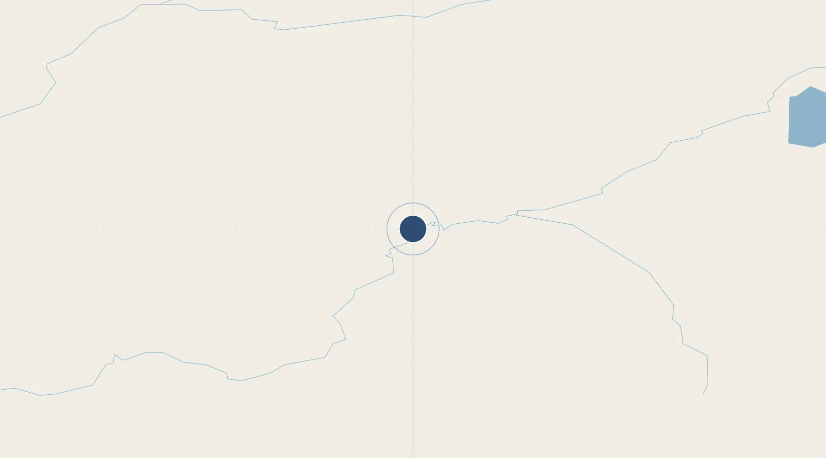
62.9529°, -155.6060°
5,936 ft
Longest runway
2
Runways
341 ft
Elevation
Runway & Layout

Navaids
MCG VORTAC Mcgrath 115.50 MHz
VTR NDB Takotna River 350 kHz
Runways · 2
| Runway | Dimensions | Surface | True heading | Lit |
|---|---|---|---|---|
| 16/34 | 5,936 × 100ft | ASPH-G | 179° | — |
| 05/23 | 2,000 × 60ft | GRVL-G | 068° | — |
Airport Specifications
IATA code
MCG
ICAO code
PAMC
Airport class
Medium airport
Scheduled service
Yes
Runway surface
ASPH-G
Served city
McGrath
Location
Nearby Logistics Neighbours
Airports
- 1Tatalina LRRS Airport20 km
- 2Takotna Airport22 km
- 3Nikolai Airport63 km
- 4Stony River 2 Airport139 km
- 5Red Devil Airport158 km
Cities
- 1Susitna308 km
- 2Houston333 km
- 3Port MacKenzie350 km
- 4Anchorage354 km
- 5Elmendorf Air Force Base356 km
Ports
- 1Unalakleet278 km
- 2Drift River324 km
- 3Nikiski335 km
- 4Kenai351 km
- 5Anchorage354 km
Trade Zones
- 1FTZ No. 160 Anchorage353 km
- 2FTZ No. 195 Fairbanks439 km
- 3FTZ No. 108 Valdez522 km
- 4FTZ No. 232 Kodiak619 km
- 5PrInce George Logistics Park2128 km
DatabookThe Record of Consolidated Knowledge
United States beyond logistics?