Small airport · United States
Central AirportPACE
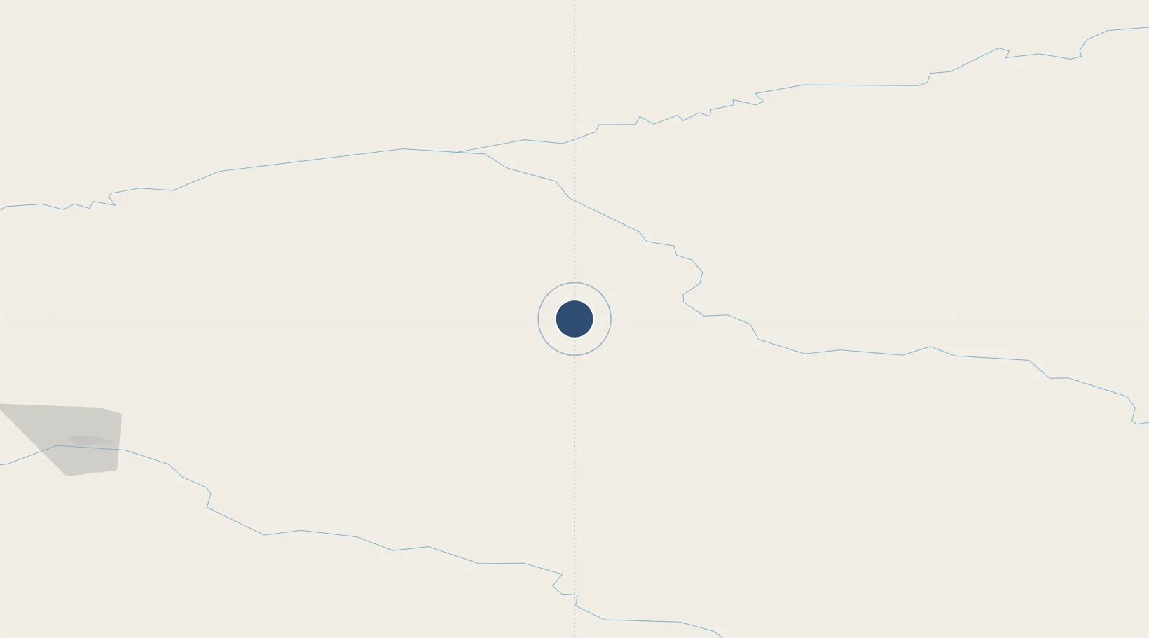
65.5738°, -144.7807°
2,782 ft
Longest runway
1
Runways
937 ft
Elevation
Runway & Layout

Runways · 1
| Runway | Dimensions | Surface | True heading | Lit |
|---|---|---|---|---|
| 07/25 | 2,782 × 60ft | GRVL-P | — | — |
Airport Specifications
IATA code
CEM
ICAO code
PACE
Airport class
Small airport
Scheduled service
Yes
Runway surface
GRVL-P
Served city
Central
Location
Nearby Logistics Neighbours
Airports
- 1Circle City (New) Airport43 km
- 2Birch Creek Airport91 km
- 3Fort Yukon Airport113 km
- 4Chalkyitsik Airport128 km
- 5Beaver Airport148 km
Cities
- 1Valdez501 km
- 2Houston504 km
- 3Herschel Island505 km
- 4Susitna531 km
- 5Elmendorf Air Force Base541 km
Ports
- 1Valdez501 km
- 2Anchorage547 km
- 3Prudhoe Bay550 km
- 4Orca557 km
- 5Cordova561 km
Trade Zones
- 1FTZ No. 195 Fairbanks159 km
- 2FTZ No. 108 Valdez500 km
- 3FTZ No. 160 Anchorage545 km
- 4FTZ No. 232 Kodiak1015 km
- 5PrInce George Logistics Park1772 km
DatabookThe Record of Consolidated Knowledge
United States beyond logistics?