Small airport · United States
Circle City (New) AirportPACR
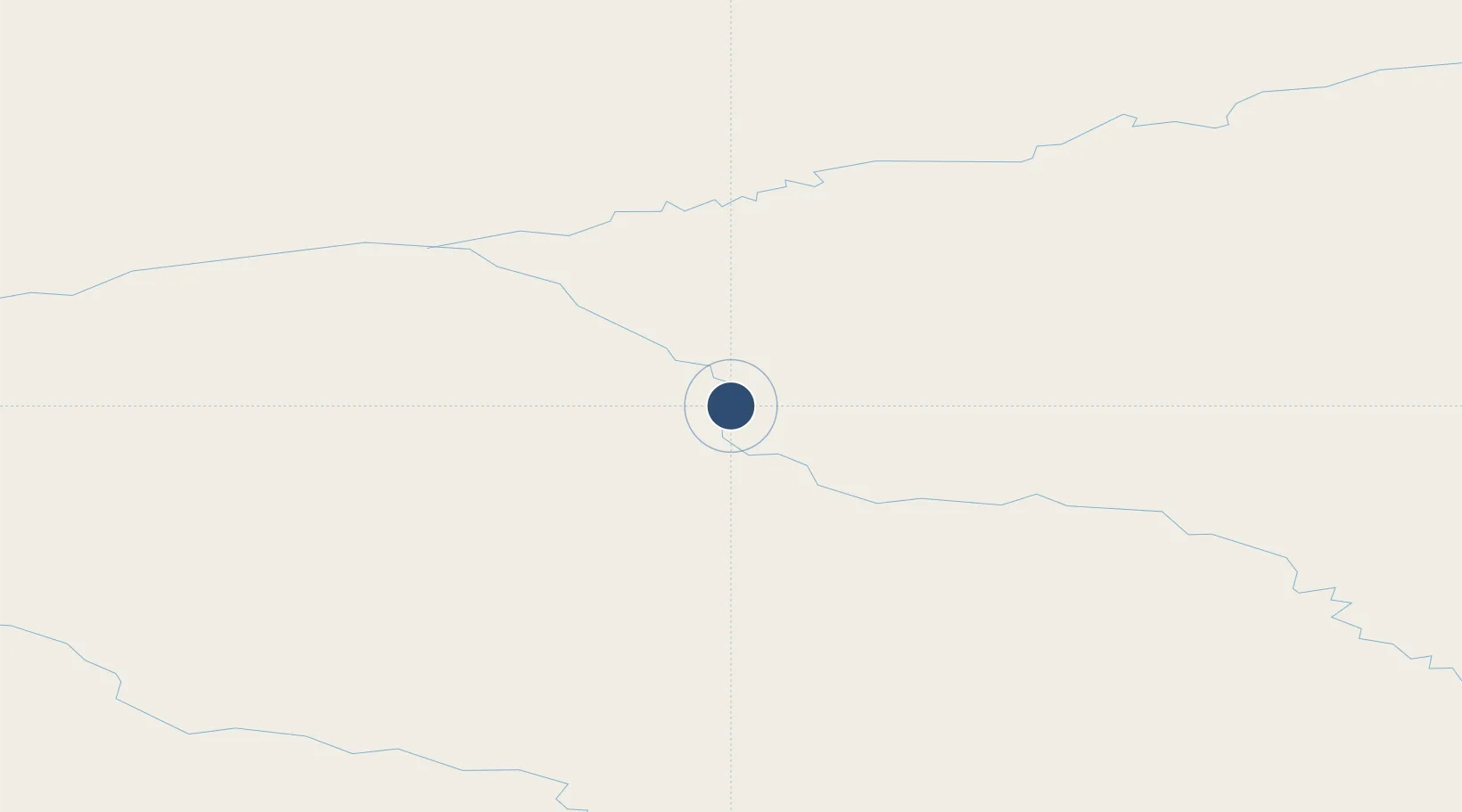
65.8277°, -144.0762°
2,979 ft
Longest runway
1
Runways
613 ft
Elevation
Runway & Layout

Runways · 1
| Runway | Dimensions | Surface | True heading | Lit |
|---|---|---|---|---|
| 15/33 | 2,979 × 60ft | GRVL-G | — | — |
Airport Specifications
IATA code
IRC
ICAO code
PACR
Airport class
Small airport
Scheduled service
Yes
Runway surface
GRVL-G
Served city
Circle
Location
Nearby Logistics Neighbours
Airports
- 1Central Airport43 km
- 2Chalkyitsik Airport92 km
- 3Birch Creek Airport93 km
- 4Fort Yukon Airport98 km
- 5Beaver Airport161 km
Cities
- 1Herschel Island466 km
- 2Valdez534 km
- 3Houston545 km
- 4Susitna572 km
- 5Elmendorf Air Force Base582 km
Ports
- 1Prudhoe Bay532 km
- 2Valdez535 km
- 3Anchorage588 km
- 4Orca589 km
- 5Cordova593 km
Trade Zones
- 1FTZ No. 195 Fairbanks201 km
- 2FTZ No. 108 Valdez534 km
- 3FTZ No. 160 Anchorage585 km
- 4FTZ No. 232 Kodiak1056 km
- 5PrInce George Logistics Park1763 km
DatabookThe Record of Consolidated Knowledge
United States beyond logistics?