Small airport · United States
Chalkyitsik AirportPACI
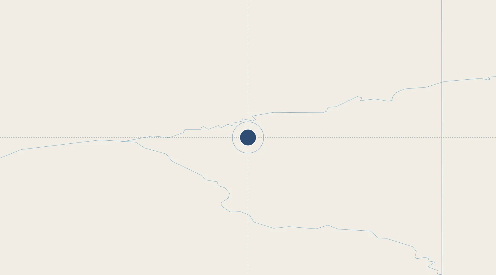
66.6450°, -143.7400°
4,000 ft
Longest runway
1
Runways
544 ft
Elevation
Runway & Layout

Runways · 1
| Runway | Dimensions | Surface | True heading | Lit |
|---|---|---|---|---|
| 04/22 | 4,000 × 75ft | GRVL-G | 053° | ✓ |
Airport Specifications
IATA code
CIK
ICAO code
PACI
Airport class
Small airport
Scheduled service
Yes
Runway surface
GRVL-G
Served city
Chalkyitsik
Location
Nearby Logistics Neighbours
Airports
- 1Fort Yukon Airport67 km
- 2Circle City (New) Airport92 km
- 3Birch Creek Airport101 km
- 4Venetie Airport122 km
- 5Central Airport128 km
Cities
- 1Herschel Island378 km
- 2Valdez626 km
- 3Houston630 km
- 4Susitna656 km
- 5Elmendorf Air Force Base668 km
Ports
- 1Prudhoe Bay452 km
- 2Valdez627 km
- 3Anchorage674 km
- 4Orca681 km
- 5Cordova685 km
Trade Zones
- 1FTZ No. 195 Fairbanks270 km
- 2FTZ No. 108 Valdez626 km
- 3FTZ No. 160 Anchorage671 km
- 4FTZ No. 232 Kodiak1141 km
- 5PrInce George Logistics Park1810 km
DatabookThe Record of Consolidated Knowledge
United States beyond logistics?