Medium airport · United States
Fort Yukon AirportPFYU
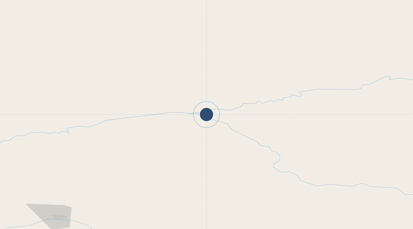
66.5717°, -145.2500°
5,000 ft
Longest runway
1
Runways
433 ft
Elevation
Runway & Layout

Radio Frequencies
AWOS
125.8 MHz
AWOS 3
CTAF
122.5 MHz
CNTR
135 MHz
ANCHORAGE CNTR
FSS
122.1 MHz
FAIRBANKS RDO
INFO
125.3 MHz
EIELSON RANGE CON
MISC
114.4 MHz
TWEB
Navaids
FTO NDB Yukon River 242 kHz
FYU VORTAC Fort Yukon 114.40 MHz
Runways · 1
| Runway | Dimensions | Surface | True heading | Lit |
|---|---|---|---|---|
| 04/22 | 5,000 × 100ft | GRVL-G | 060° | — |
Airport Specifications
IATA code
FYU
ICAO code
PFYU
Airport class
Medium airport
Scheduled service
Yes
Runway surface
GRVL-G
Served city
Fort Yukon
Location
Nearby Logistics Neighbours
Airports
- 1Birch Creek Airport42 km
- 2Chalkyitsik Airport67 km
- 3Venetie Airport69 km
- 4Circle City (New) Airport98 km
- 5Beaver Airport99 km
Cities
- 1Herschel Island420 km
- 2Houston592 km
- 3Valdez608 km
- 4Susitna615 km
- 5Elmendorf Air Force Base632 km
Ports
- 1Prudhoe Bay438 km
- 2Valdez609 km
- 3Anchorage637 km
- 4Whittier666 km
- 5Orca666 km
Trade Zones
- 1FTZ No. 195 Fairbanks223 km
- 2FTZ No. 108 Valdez607 km
- 3FTZ No. 160 Anchorage634 km
- 4FTZ No. 232 Kodiak1101 km
- 5PrInce George Logistics Park1856 km
DatabookThe Record of Consolidated Knowledge
United States beyond logistics?