Small airport · United States
Birch Creek AirportZ91
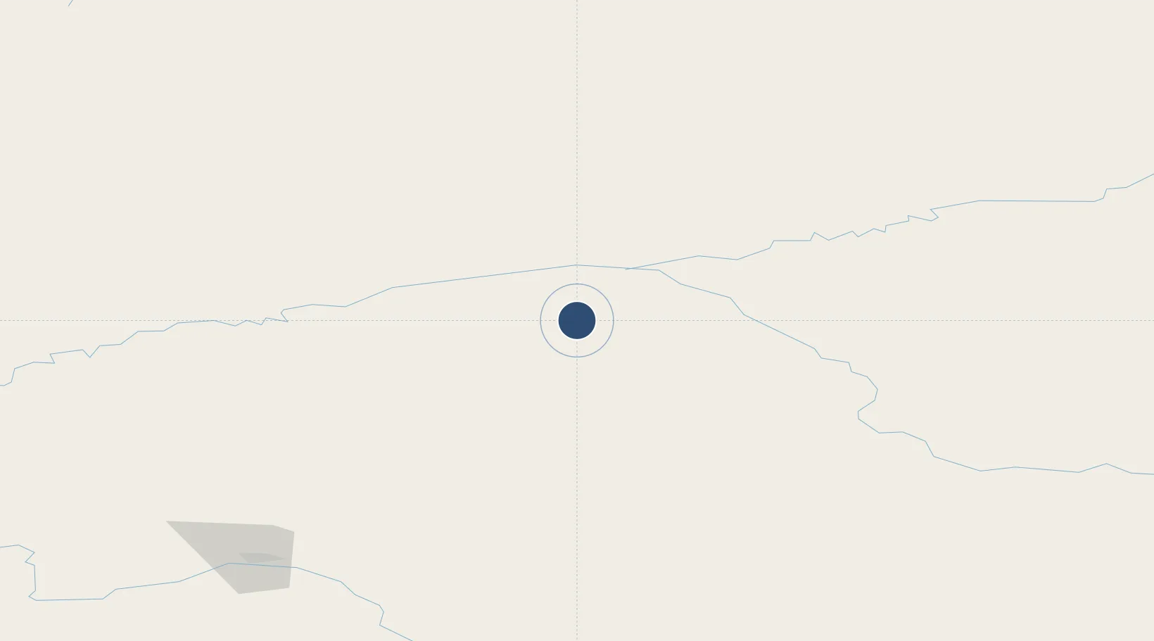
66.2740°, -145.8240°
4,000 ft
Longest runway
1
Runways
450 ft
Elevation
Runway & Layout

Runways · 1
| Runway | Dimensions | Surface | True heading | Lit |
|---|---|---|---|---|
| 16/34 | 4,000 × 75ft | GRAVEL-G | — | ✓ |
Airport Specifications
IATA code
KBC
ICAO code
Z91
Airport class
Small airport
Scheduled service
Yes
Runway surface
GRAVEL-G
Served city
Birch Creek
Location
Nearby Logistics Neighbours
Airports
- 1Fort Yukon Airport42 km
- 2Beaver Airport71 km
- 3Venetie Airport85 km
- 4Central Airport91 km
- 5Circle City (New) Airport93 km
Cities
- 1Herschel Island462 km
- 2Houston551 km
- 3Valdez573 km
- 4Susitna574 km
- 5Elmendorf Air Force Base592 km
Ports
- 1Prudhoe Bay464 km
- 2Valdez574 km
- 3Anchorage597 km
- 4Whittier627 km
- 5Orca633 km
Trade Zones
- 1FTZ No. 195 Fairbanks181 km
- 2FTZ No. 108 Valdez572 km
- 3FTZ No. 160 Anchorage594 km
- 4FTZ No. 232 Kodiak1060 km
- 5PrInce George Logistics Park1856 km
DatabookThe Record of Consolidated Knowledge
United States beyond logistics?