Medium airport · Syria

Qamishli International AirportOSKL
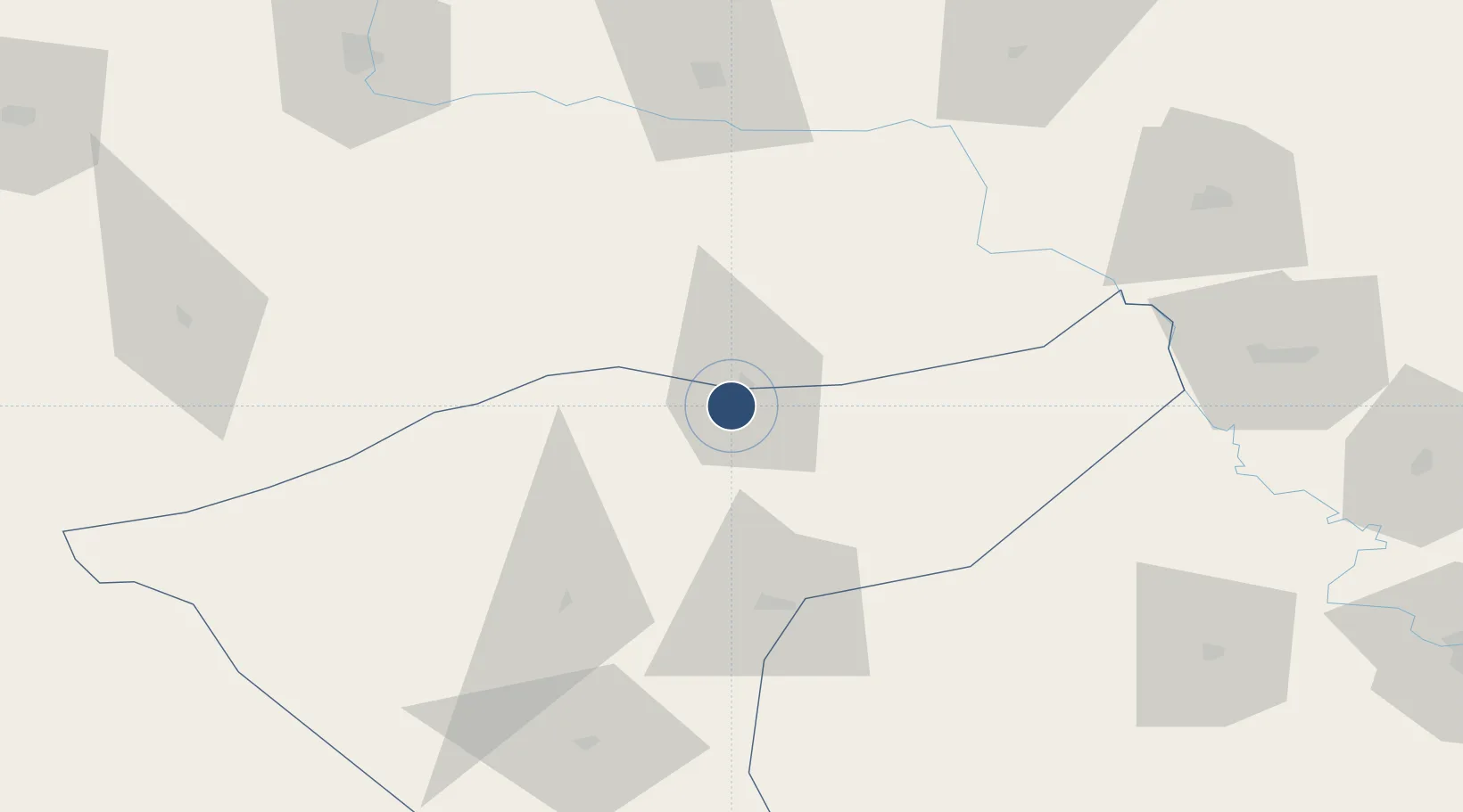
37.0206°, 41.1914°
11,860 ft
Longest runway
1
Runways
1,480 ft
Elevation

Runway & Layout

Qamishli International Airport runway & taxiway layout
Runway & taxiway layout — OpenStreetMap (ODbL) / OurAirports

Radio Frequencies

TWR
118.225 MHz
OurAirports

Navaids

KML VOR-DME Kamishly 115.10 MHz
KML NDB Kamishly 313 kHz
OurAirports

Runways · 1

RunwayDimensions SurfaceTrue headingLit
03/21 11,860 × 150ft Asphalt 039°
OurAirports

Airport Specifications

IATA code
KAC
OurAirports
ICAO code
OSKL
OurAirports
Airport class
Medium airport
OurAirports
Scheduled service
Yes
OurAirports
Runway surface
Asphalt
OurAirports
Served city
Qamishli
OurAirports

Location

Location of OSKL
Natural Earth 10m (public domain) · Hasaka (Al Haksa) · OSKL · 37.02, 41.19GoogleOSMYandex

Nearby Logistics Neighbours

Airports
  1. 1Mardin Airport55 km
  2. 2Şırnak Şerafettin Elçi Airport86 km
  3. 3Batman Airport101 km
  4. 4Siirt Airport121 km
  5. 5Diyarbakır Airport131 km
Nearest neighbours — logibook spatial index (haversine) over the source coordinates
Cities
  1. 1Nusaybin6 km
  2. 2Kopru91 km
  3. 3Atakoy116 km
  4. 4Poliport131 km
  5. 5Zakho134 km
Nearest neighbours — logibook spatial index (haversine) over the source coordinates
Ports
  1. 1Yakacik447 km
  2. 2Iskenderun450 km
  3. 3Rize454 km
  4. 4Trabzon461 km
  5. 5Toros Gubre464 km
Nearest neighbours — logibook spatial index (haversine) over the source coordinates
Trade Zones
  1. 1Mardin Free Zone55 km
  2. 2Al Yarubiyah Free Zone80 km
  3. 3Salmas Special Economic Zone338 km
  4. 4Gaziantep Free Zone341 km
  5. 5Aleppo Free Zone364 km
Nearest neighbours — logibook spatial index (haversine) over the source coordinates
DatabookThe Record of Consolidated Knowledge
Syria beyond logistics?
Browse databook

All Sources

AirportsOurAirports
Public domain
Portsthe NGA World Port Index
Public domain (US gov)
LocationsUN/LOCODE
UN/LOCODE — free
Trade Zonesthe World Bank SEZ database
CC BY 4.0
Trade ZonesOpen Zone Map
CC BY
InfrastructureOpenStreetMap
ODbL 1.0
← Syria airports