Runway & Layout

Airport Specifications
Airport class
Medium airport
Scheduled service
No
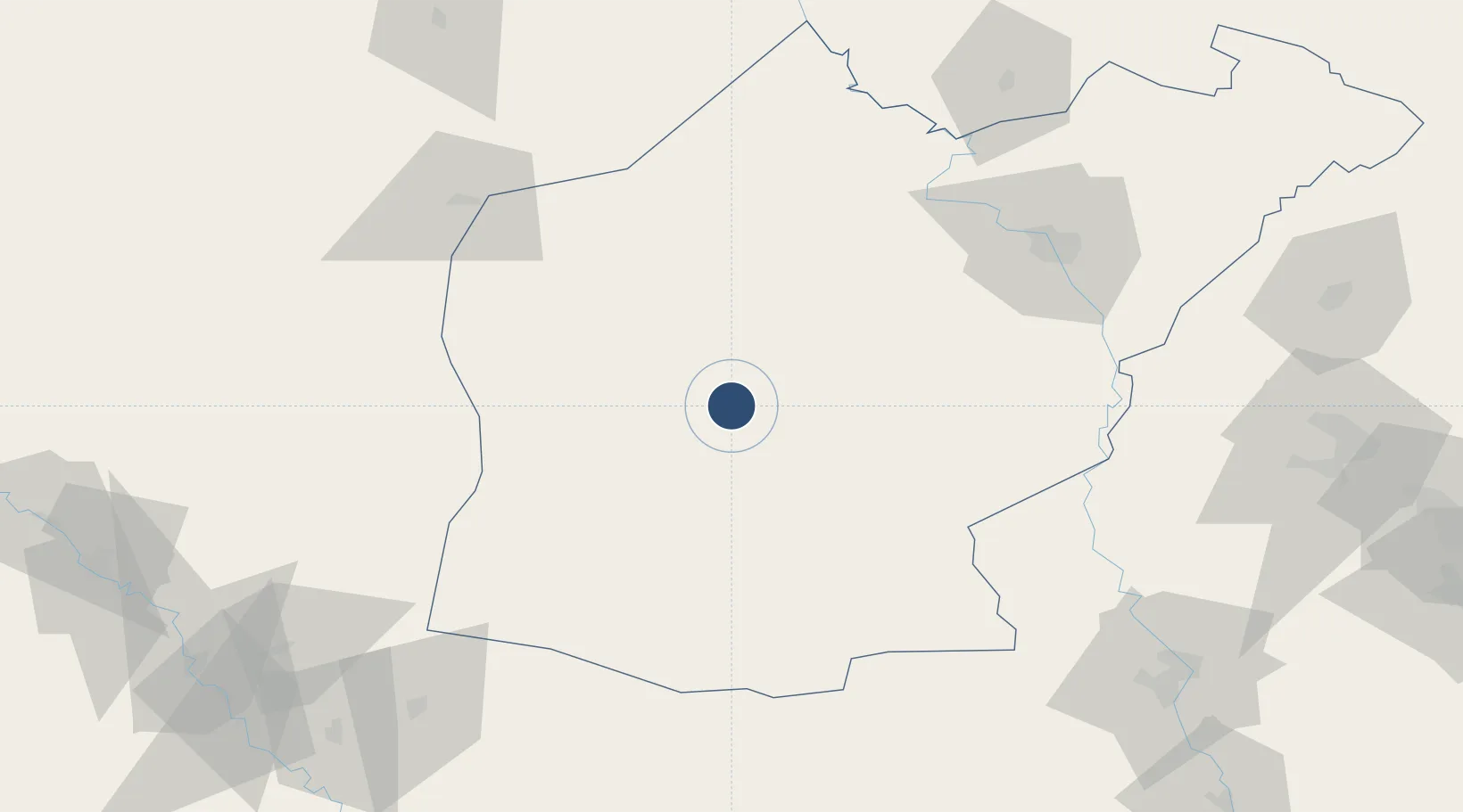
Location
Nearby Logistics Neighbours
Airports
- 1Tall Afar Army Air Field53 km
- 2Qayyarah West Airport89 km
- 3Mosul International Airport103 km
- 4Qamishli International Airport155 km
- 5Erbil International Airport168 km
Cities
- 1Mosul (Ak Mawsil)52 km
- 2Zakho150 km
- 3Nusaybin158 km
- 4Irbil171 km
- 5Arbil171 km
Ports
- 1Iskenderun542 km
- 2Yakacik542 km
- 3Rize596 km
- 4Trabzon610 km
- 5Hopa621 km
Trade Zones
- 1Al Yarubiyah Free Zone106 km
- 2Mardin Free Zone206 km
- 3West Islamabad Special Economic Zone321 km
- 4Baneh Special Economic Zone340 km
- 5Qasr-e-Shirin Special Economic Zone346 km
DatabookThe Record of Consolidated Knowledge
Iraq beyond logistics?