Large airport · Pakistan

Bacha Khan International AirportOPPS
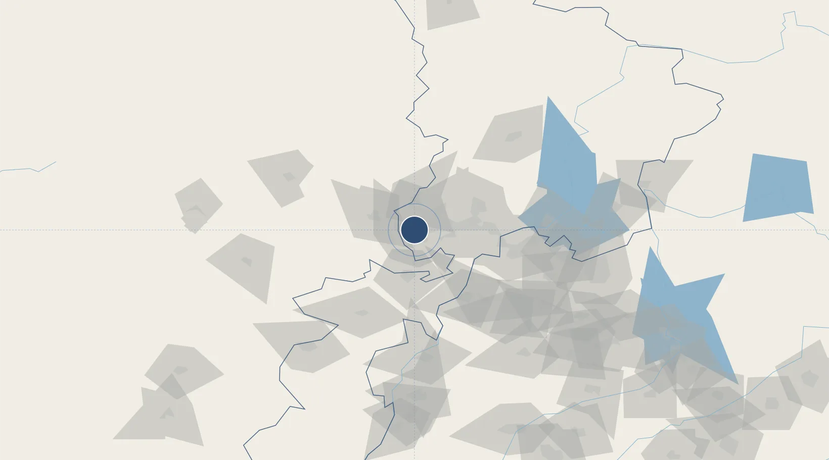
33.9939°, 71.5146°
9,000 ft
Longest runway
1
Runways
1,158 ft
Elevation

Runway & Layout

Bacha Khan International Airport runway & taxiway layout
Runway & taxiway layout — OpenStreetMap (ODbL) / OurAirports

Radio Frequencies

ATIS
126.7 MHz
TWR
122.9 MHz
APP
125.6 MHz
CHERAT APP
GCA
118.3 MHz
RDO
292.3 MHz
OurAirports

Navaids

PS VOR-DME Peshawar 114.30 MHz
PS NDB Peshawar 308 kHz
OurAirports

Runways · 1

RunwayDimensions SurfaceTrue headingLit
17/35 9,000 × 150ft Asphalt 176°
OurAirports

Airport Specifications

IATA code
PEW
OurAirports
ICAO code
OPPS
OurAirports
Airport class
Large airport
OurAirports
Scheduled service
Yes
OurAirports
Runway surface
Asphalt
OurAirports
Served city
Peshawar
OurAirports

Location

Location of OPPS
Natural Earth 10m (public domain) · K.P. · OPPS · 33.99, 71.51GoogleOSMYandex

Nearby Logistics Neighbours

Airports
  1. 1Risalpur Air Base43 km
  2. 2Minhas Air Base83 km
  3. 3Jalalabad Airport104 km
  4. 4Saidu Sharif Airport119 km
  5. 5Islamabad International Airport131 km
Nearest neighbours — logibook spatial index (haversine) over the source coordinates
Cities
  1. 1Hayatabad34 km
  2. 2Torkham106 km
  3. 3Qasim116 km
  4. 4Garhi Habibullah Khan178 km
  5. 5Sharona216 km
Nearest neighbours — logibook spatial index (haversine) over the source coordinates
Ports
  1. 1Muhamamad Bin Qasim1102 km
  2. 2Karachi1114 km
  3. 3Kandla1225 km
  4. 4Navlakhi1232 km
  5. 5Mandvi1259 km
Nearest neighbours — logibook spatial index (haversine) over the source coordinates
Trade Zones
  1. 1Mohmand Marble City23 km
  2. 2Risalpur Export Processing Zone46 km
  3. 3Rashakai Nowshehra Special Economic Zone59 km
  4. 4Jalalabad Special Economic Zone104 km
  5. 5Nangarhar Special Economic Zone104 km
Nearest neighbours — logibook spatial index (haversine) over the source coordinates
DatabookThe Record of Consolidated Knowledge
Pakistan beyond logistics?
Browse databook

All Sources

AirportsOurAirports
Public domain
Portsthe NGA World Port Index
Public domain (US gov)
LocationsUN/LOCODE
UN/LOCODE — free
Trade Zonesthe World Bank SEZ database
CC BY 4.0
Trade ZonesOpen Zone Map
CC BY
InfrastructureOpenStreetMap
ODbL 1.0
← Pakistan airports