Large airport · Afghanistan

Ahmad Shah Baba International AirportOAKN
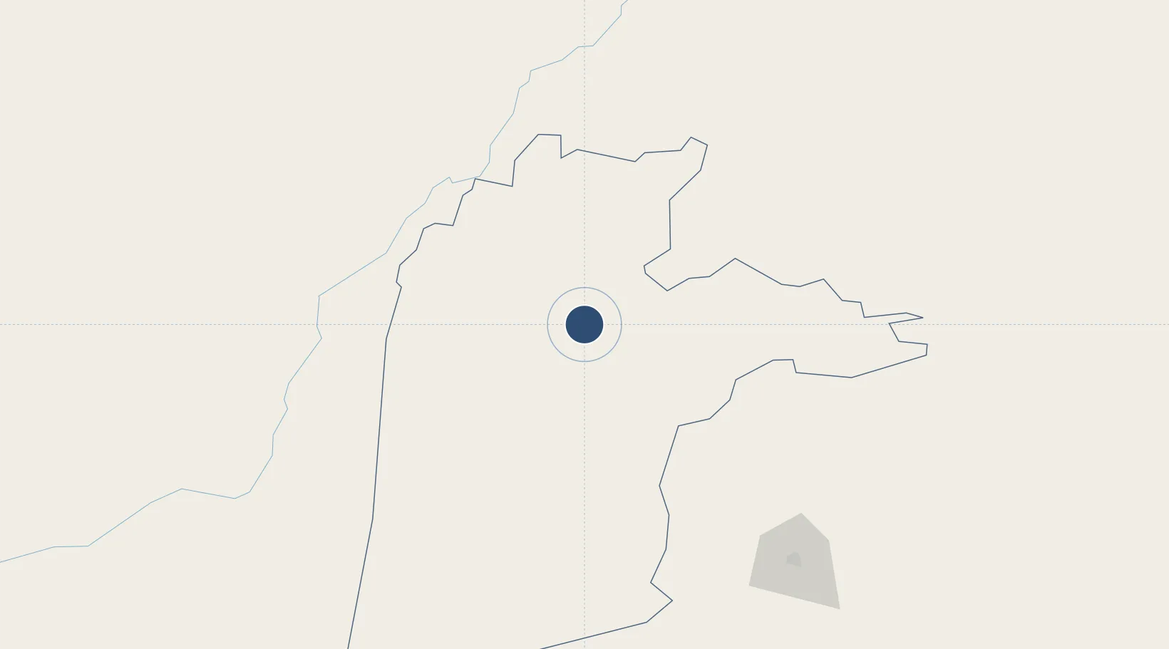
31.5058°, 65.8480°
10,532 ft
Longest runway
1
Runways
3,337 ft
Elevation

Runway & Layout

Ahmad Shah Baba International Airport runway & taxiway layout
Runway & taxiway layout — OpenStreetMap (ODbL) / OurAirports

Radio Frequencies

TWR
125.5 MHz
GND
126.7 MHz
APP
120.8 MHz
A/G
25.32 MHz
METRO
GCA
122.6 MHz
OurAirports

Navaids

KAF TACAN Kandahar 112.80 MHz
OKN NDB Kandahar 172 kHz
OurAirports

Runways · 1

RunwayDimensions SurfaceTrue headingLit
05/23 10,532 × 148ft Asphalt 055°
OurAirports

Airport Specifications

IATA code
KDH
OurAirports
ICAO code
OAKN
OurAirports
Airport class
Large airport
OurAirports
Scheduled service
Yes
OurAirports
Runway surface
Asphalt
OurAirports
Served city
Kandahar
OurAirports

Location

Location of OAKN
Natural Earth 10m (public domain) · Kandahar · OAKN · 31.51, 65.85GoogleOSMYandex

Nearby Logistics Neighbours

Airports
  1. 1Quetta International Airport174 km
  2. 2Dalbandin Airport324 km
  3. 3Zhob Airport343 km
  4. 4Zabol Airport411 km
  5. 5Shamsi Airfield412 km
Nearest neighbours — logibook spatial index (haversine) over the source coordinates
Cities
  1. 1Chaman86 km
  2. 2Qalat118 km
  3. 3Sharona383 km
  4. 4Multan557 km
  5. 5Dehdadi582 km
Nearest neighbours — logibook spatial index (haversine) over the source coordinates
Ports
  1. 1Karachi756 km
  2. 2Muhamamad Bin Qasim764 km
  3. 3Gwadar789 km
  4. 4Chah Bahar862 km
  5. 5Jask1024 km
Nearest neighbours — logibook spatial index (haversine) over the source coordinates
Trade Zones
  1. 1Kandahar Qandahar Special Economic Zone1 km
  2. 2Helmand Special Economic Zone141 km
  3. 3Bostan Special Economic Zone Balochistan162 km
  4. 4Zaranj Special Economic Zone385 km
  5. 5Gardez Special Economic Zone396 km
Nearest neighbours — logibook spatial index (haversine) over the source coordinates
DatabookThe Record of Consolidated Knowledge
Afghanistan beyond logistics?
Browse databook

All Sources

AirportsOurAirports
Public domain
Portsthe NGA World Port Index
Public domain (US gov)
LocationsUN/LOCODE
UN/LOCODE — free
Trade Zonesthe World Bank SEZ database
CC BY 4.0
Trade ZonesOpen Zone Map
CC BY
InfrastructureOpenStreetMap
ODbL 1.0
← Afghanistan airports