Transport Functions
Rail
Road
Border Crossing
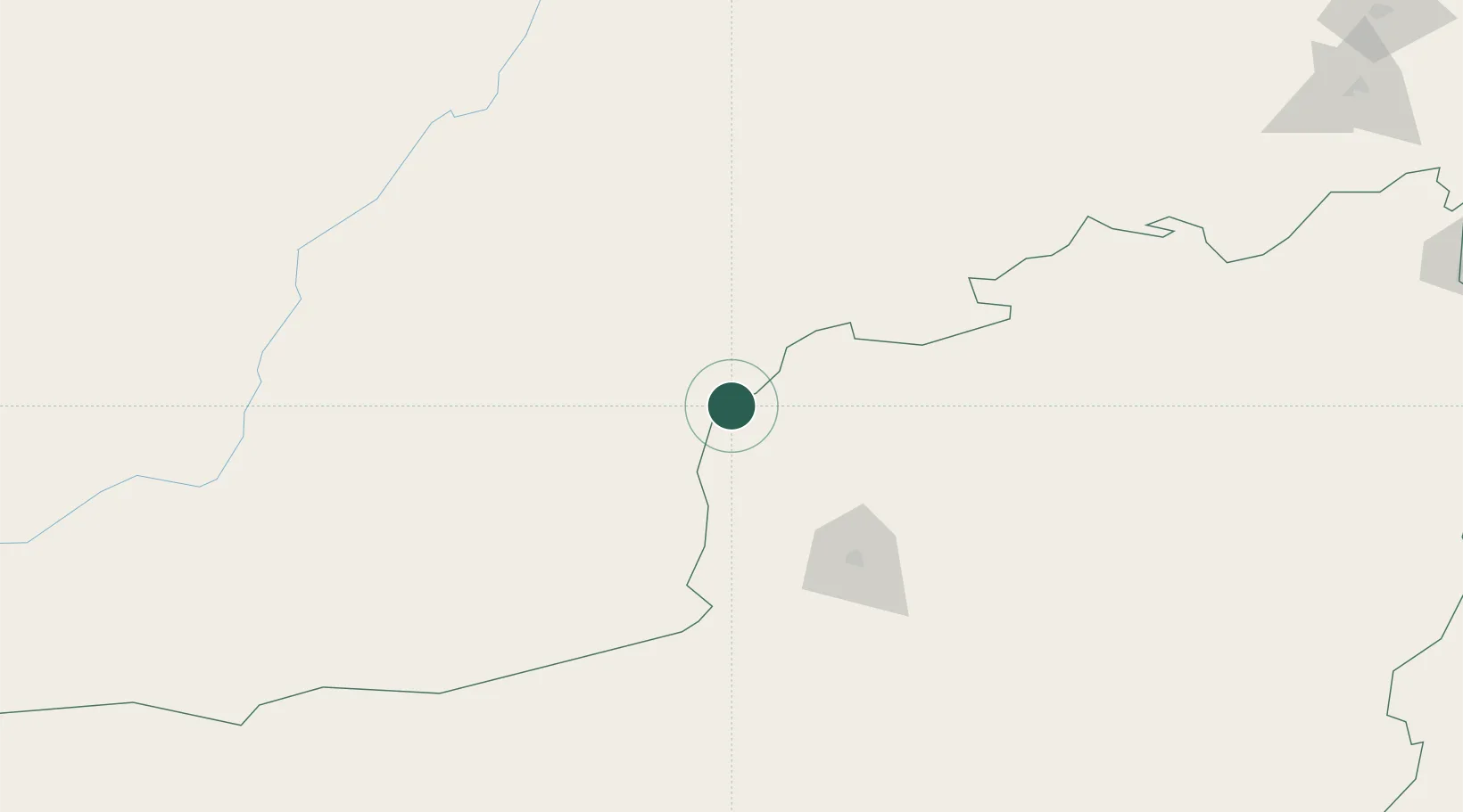
Hub Profile
Place type
Populated place
Region
Balochistan
Population
88,568
Time zone
Asia/Karachi
Elevation
1,336 m
Location
Nearby Logistics Neighbours
Ports
- 1Karachi684 km
- 2Muhamamad Bin Qasim690 km
- 3Gwadar760 km
- 4Chah Bahar848 km
- 5Mandvi944 km
Airports
- 1Ahmad Shah Baba International Airport86 km
- 2Quetta International Airport88 km
- 3Zhob Airport293 km
- 4Dalbandin Airport300 km
- 5Khuzdar Airport348 km
Trade Zones
DatabookThe Record of Consolidated Knowledge
Pakistan beyond logistics?