Large airport · Pakistan

Quetta International AirportOPQT
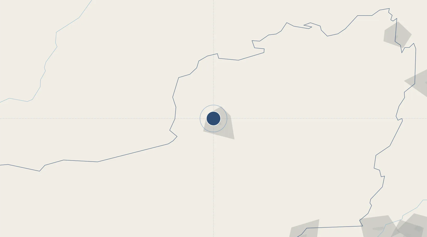
30.2514°, 66.9378°
12,001 ft
Longest runway
2
Runways
5,267 ft
Elevation

Runway & Layout

Quetta International Airport runway & taxiway layout
Runway & taxiway layout — OpenStreetMap (ODbL) / OurAirports

Radio Frequencies

TWR
118.05 MHz
GND
121.8 MHz
TWR
A/G
292.3 MHz
RDO
OurAirports

Navaids

QT VOR-DME Quetta 114.70 MHz
QT NDB Quetta 348 kHz
OurAirports

Runways · 2

RunwayDimensions SurfaceTrue headingLit
13R/31L 12,001 × 110ft Asphalt 136°
13L/31R 11,962 × 150ft Concrete 136°
OurAirports

Airport Specifications

IATA code
UET
OurAirports
ICAO code
OPQT
OurAirports
Airport class
Large airport
OurAirports
Scheduled service
Yes
OurAirports
Runway surface
Asphalt
OurAirports
Served city
Quetta
OurAirports

Location

Location of OPQT
Natural Earth 10m (public domain) · Baluchistan · OPQT · 30.25, 66.94GoogleOSMYandex

Nearby Logistics Neighbours

Airports
  1. 1Ahmad Shah Baba International Airport174 km
  2. 2Shahbaz Air Base263 km
  3. 3Zhob Airport271 km
  4. 4Khuzdar Airport275 km
  5. 5Sui Airport281 km
Nearest neighbours — logibook spatial index (haversine) over the source coordinates
Cities
  1. 1Chaman88 km
  2. 2Qalat206 km
  3. 3Sharona403 km
  4. 4Multan435 km
  5. 5Hasilpur456 km
Nearest neighbours — logibook spatial index (haversine) over the source coordinates
Ports
  1. 1Karachi608 km
  2. 2Muhamamad Bin Qasim611 km
  3. 3Gwadar730 km
  4. 4Chah Bahar833 km
  5. 5Mandvi859 km
Nearest neighbours — logibook spatial index (haversine) over the source coordinates
Trade Zones
  1. 1Bostan Special Economic Zone Balochistan21 km
  2. 2Kandahar Qandahar Special Economic Zone174 km
  3. 3Helmand Special Economic Zone286 km
  4. 4Khairpur Special Economic Zone351 km
  5. 5Rahim Yar Khan Industrial Estate378 km
Nearest neighbours — logibook spatial index (haversine) over the source coordinates
DatabookThe Record of Consolidated Knowledge
Pakistan beyond logistics?
Browse databook

All Sources

AirportsOurAirports
Public domain
Portsthe NGA World Port Index
Public domain (US gov)
LocationsUN/LOCODE
UN/LOCODE — free
Trade Zonesthe World Bank SEZ database
CC BY 4.0
Trade ZonesOpen Zone Map
CC BY
InfrastructureOpenStreetMap
ODbL 1.0
← Pakistan airports