Diversified Zone · Afghanistan

Kandahar Qandahar Special Economic Zone Under Development
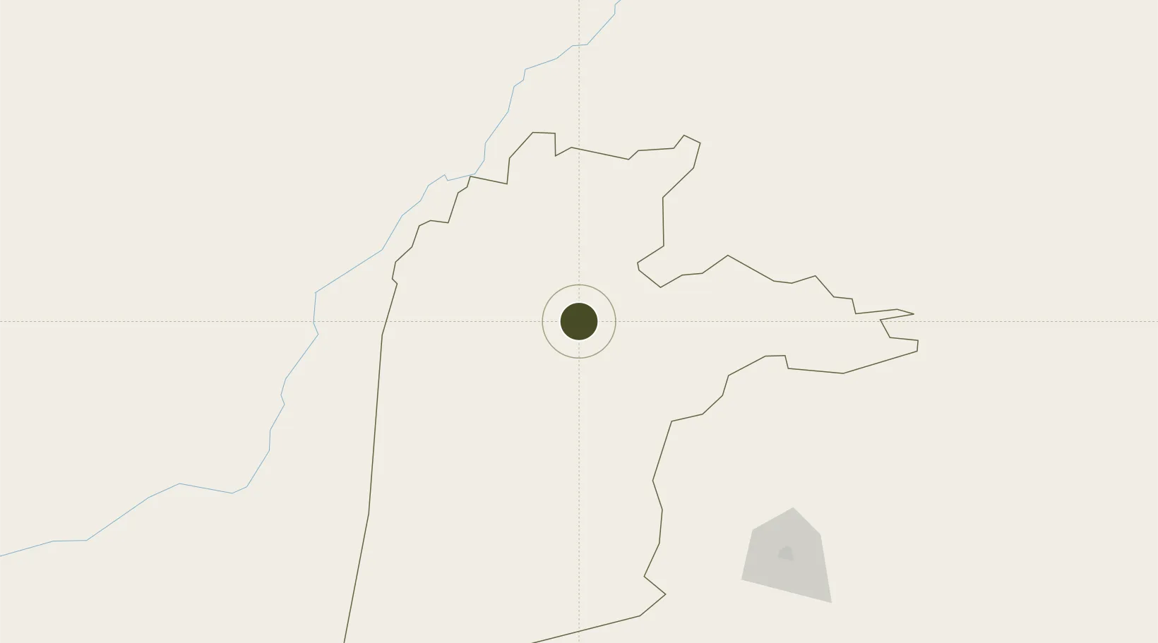
31.5023°, 65.8506°
755.3 km
Nearest port
0.5 km
Nearest airport

Gateway access

Nearest neighbours — logibook spatial index (haversine) over the source coordinates

Zone profile

Zone type
Diversified Zone
Open Zone Map
Region
Kandahar
Open Zone Map
Status
Under Development
Open Zone Map
Management
Public
Open Zone Map
Operator
Afghanistan Airfield Economic Development Commission (AAEDC)
Open Zone Map
Legal framework
Presidential Decree # July 2015, Afghanistan Customs Law 2005.
Open Zone Map

Location

Location of ozm-13
Natural Earth 10m (public domain) · Kandahar · ozm-13 · 31.50, 65.85GoogleOSMYandex

Nearby Logistics Neighbours

Ports
  1. 1Karachi755 km
  2. 2Muhamamad Bin Qasim763 km
  3. 3Gwadar789 km
  4. 4Chah Bahar862 km
  5. 5Jask1024 km
Nearest neighbours — logibook spatial index (haversine) over the source coordinates
Airports
  1. 1Ahmad Shah Baba International Airport1 km
  2. 2Quetta International Airport174 km
  3. 3Dalbandin Airport323 km
  4. 4Zhob Airport343 km
  5. 5Zabol Airport412 km
Nearest neighbours — logibook spatial index (haversine) over the source coordinates
Cities
  1. 1Chaman86 km
  2. 2Qalat118 km
  3. 3Sharona383 km
  4. 4Multan557 km
  5. 5Dehdadi582 km
Nearest neighbours — logibook spatial index (haversine) over the source coordinates
Trade Zones
  1. 1Helmand Special Economic Zone142 km
  2. 2Bostan Special Economic Zone Balochistan162 km
  3. 3Zaranj Special Economic Zone385 km
  4. 4Gardez Special Economic Zone396 km
  5. 5Shīnḍanḍ Special Economic Zone398 km
Nearest neighbours — logibook spatial index (haversine) over the source coordinates
DatabookThe Record of Consolidated Knowledge
Afghanistan beyond logistics?
Browse databook

All Sources

Trade ZonesOpen Zone Map
CC BY
Portsthe NGA World Port Index
Public domain (US gov)
AirportsOurAirports
Public domain
LocationsUN/LOCODE
UN/LOCODE — free
← Afghanistan trade zones