Diversified Zone · Pakistan

Bostan Special Economic Zone Balochistan Under Development
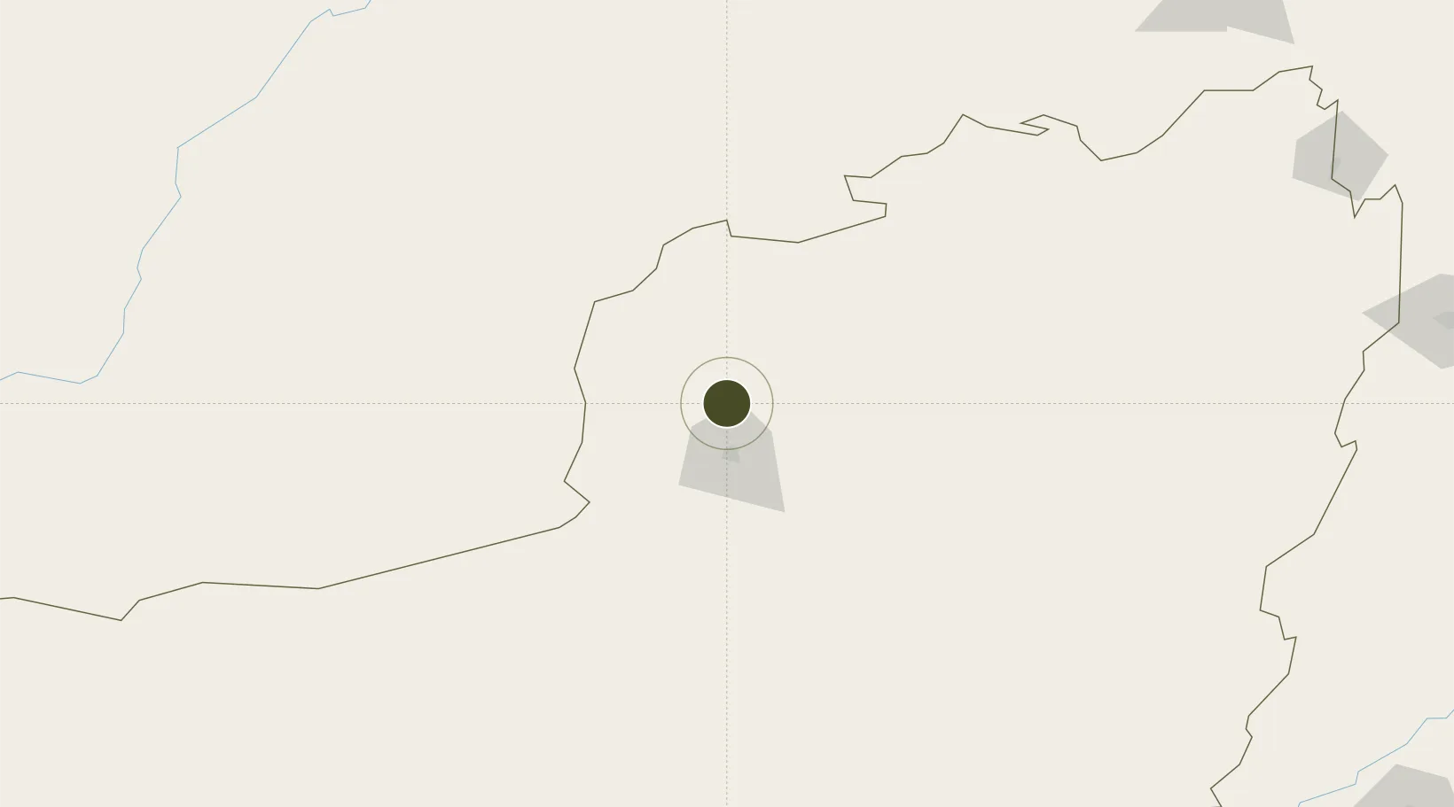
30.4328°, 67.0025°
405 ha
Zone area
628.2 km
Nearest port
21.1 km
Nearest airport

Gateway access

Nearest neighbours — logibook spatial index (haversine) over the source coordinates

Zone profile

Zone type
Diversified Zone
Open Zone Map
Region
Baluchistan
Open Zone Map
Status
Under Development
Open Zone Map
Management
Public
Open Zone Map
Operator
Planning & Development Department, Government of Balochistan
Open Zone Map
Legal framework
Special Economic Zones Act, 2012
Open Zone Map

Location

Location of ozm-3025
Natural Earth 10m (public domain) · Baluchistan · ozm-3025 · 30.43, 67.00GoogleOSMYandex

Nearby Logistics Neighbours

Ports
  1. 1Karachi628 km
  2. 2Muhamamad Bin Qasim631 km
  3. 3Gwadar749 km
  4. 4Chah Bahar851 km
  5. 5Mandvi877 km
Nearest neighbours — logibook spatial index (haversine) over the source coordinates
Airports
  1. 1Quetta International Airport21 km
  2. 2Ahmad Shah Baba International Airport162 km
  3. 3Zhob Airport256 km
  4. 4Shahbaz Air Base277 km
  5. 5Sui Airport289 km
Nearest neighbours — logibook spatial index (haversine) over the source coordinates
Cities
  1. 1Chaman77 km
  2. 2Qalat186 km
  3. 3Sharona383 km
  4. 4Multan430 km
  5. 5Hasilpur452 km
Nearest neighbours — logibook spatial index (haversine) over the source coordinates
Trade Zones
  1. 1Kandahar Qandahar Special Economic Zone162 km
  2. 2Helmand Special Economic Zone281 km
  3. 3Khairpur Special Economic Zone366 km
  4. 4Rahim Yar Khan Industrial Estate384 km
  5. 5Gardez Special Economic Zone413 km
Nearest neighbours — logibook spatial index (haversine) over the source coordinates
DatabookThe Record of Consolidated Knowledge
Pakistan beyond logistics?
Browse databook

All Sources

Trade ZonesOpen Zone Map
CC BY
Portsthe NGA World Port Index
Public domain (US gov)
AirportsOurAirports
Public domain
LocationsUN/LOCODE
UN/LOCODE — free
← Pakistan trade zones